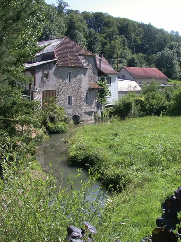
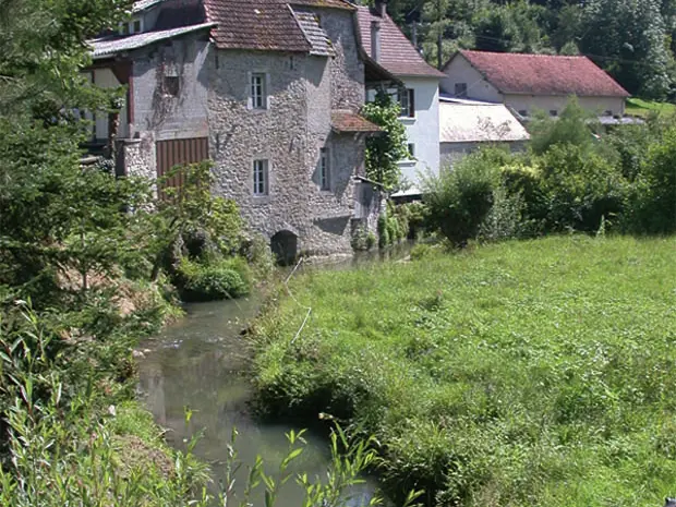
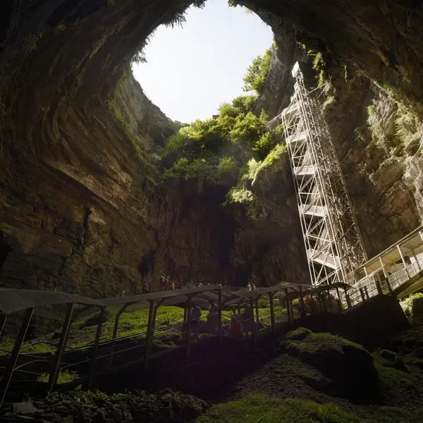
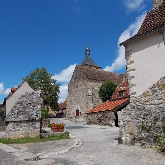
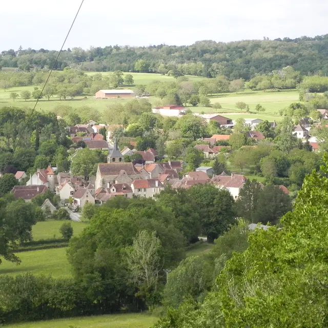
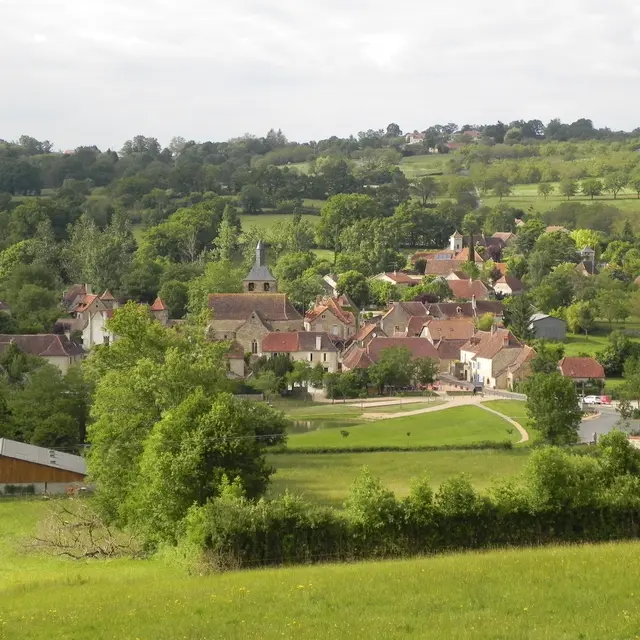
One of the most difficult of the departmental selection. This circuit requires regular practice in order to understand as well as possible the gradients and technical descents. This quality course, close to the Padirac chasm, is absolutely to be done..
Read more