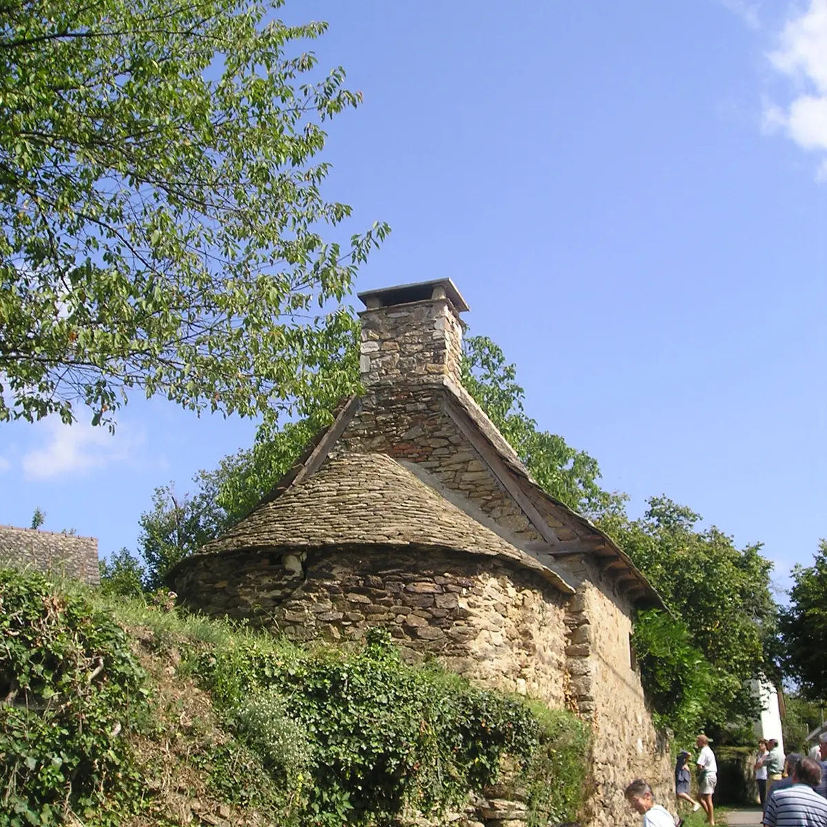
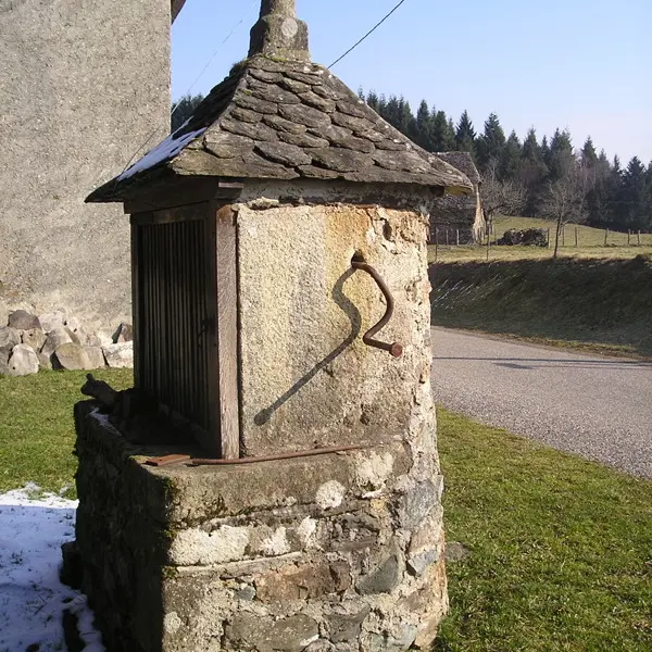
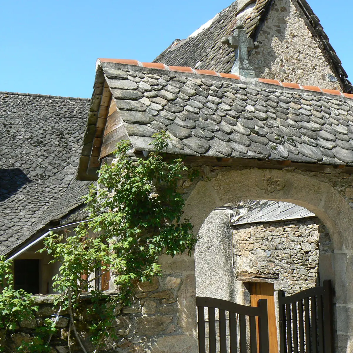
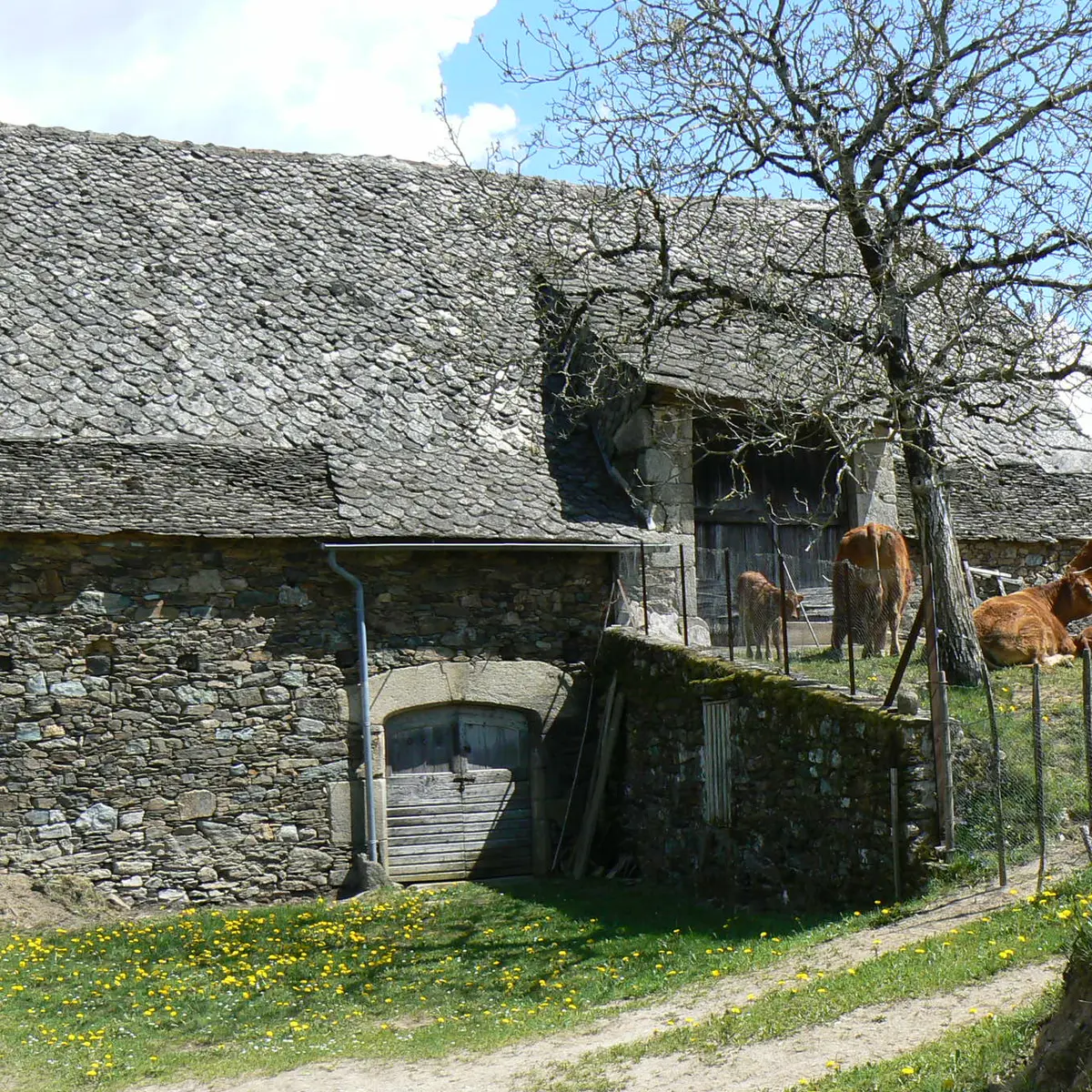
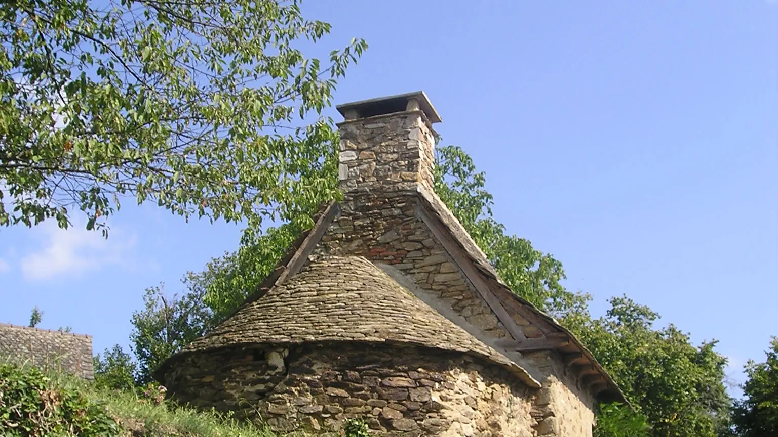
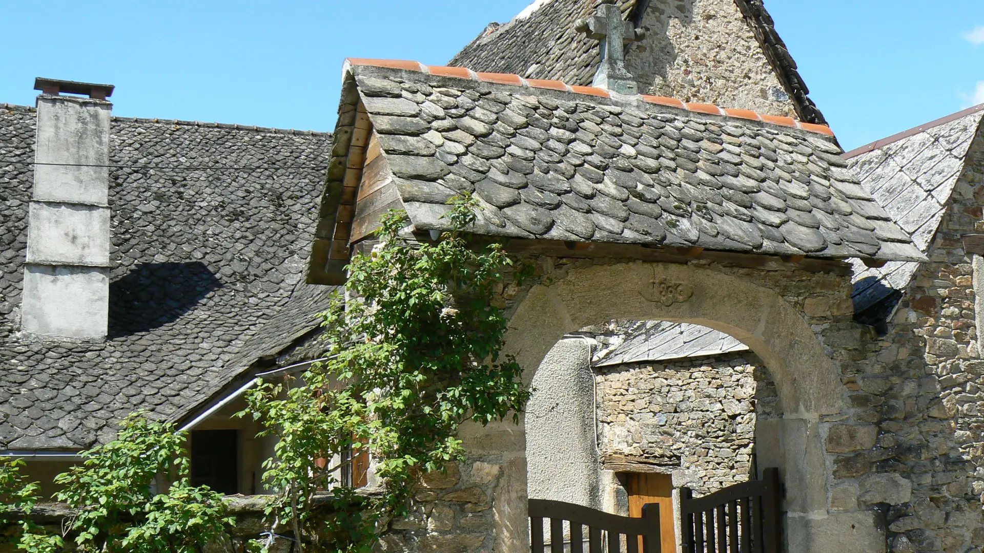
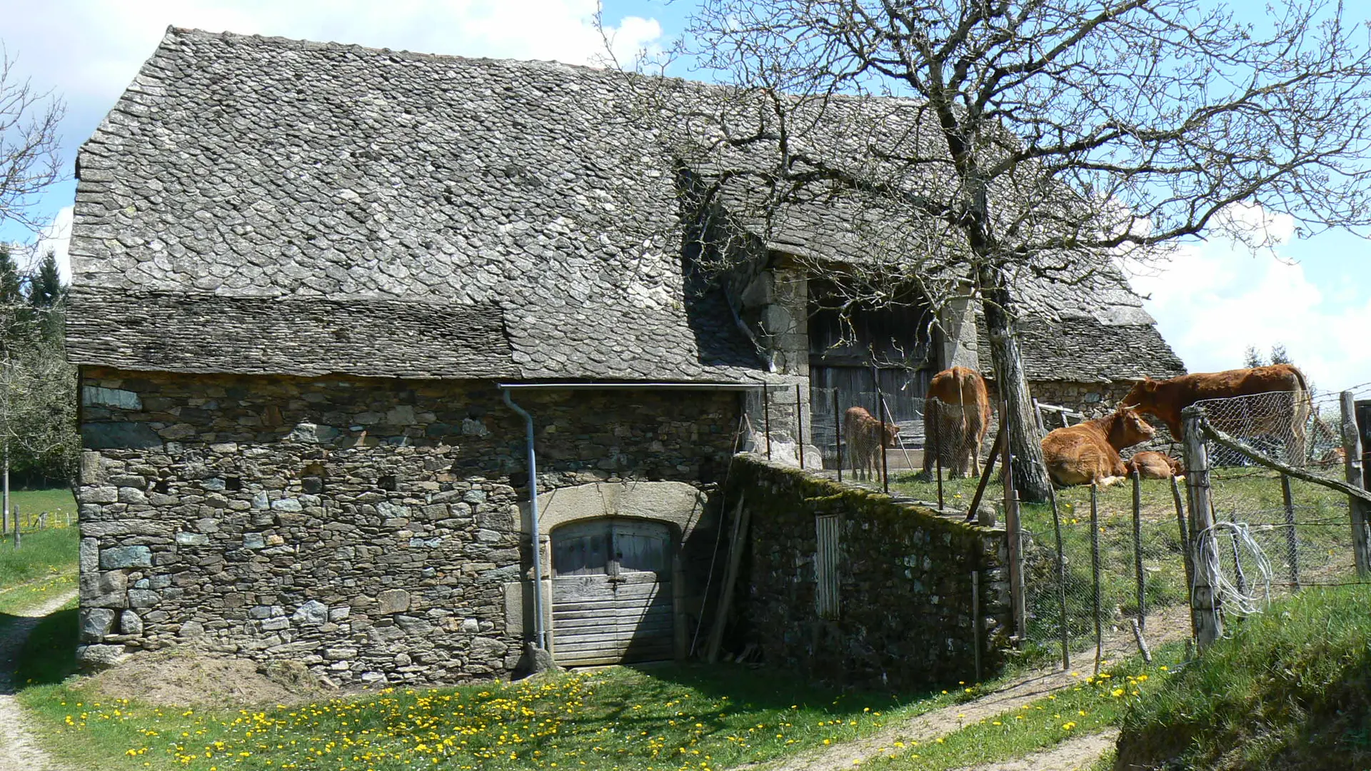
As well as the delightful Orgues stream and the surrounding woodland, this trail gives you the opportunity to admire some fine traditional roofs made of schist "lauzes" (slabs) on barns and houses. The Ségala, on the edge of the Cantal uplands, is composed of metamorphic rocks, mostly schists which, split into "lauzes" (flat slabs), were traditionally used for roofing houses. The slabs are carefully shaped and fixed by means of wooden pegs to horizontal laths laid across the rafters. The lauzes decrease in size from bottom to top of the roof. At the level of the eaves, large overhanging slabs prevent rainwater running down the outside of the walls (guttering is a modern invention.)
Read more