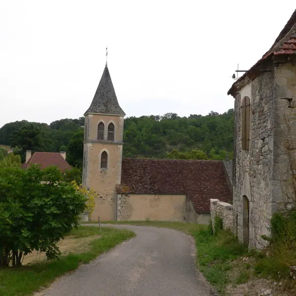
Starting from Payrac with its covered laundry trough and château, this round walk will take you through the Tournefeuille valley to explore the little village of Camy and its square tower with a turret. The “Toulas” zone was once a village which owed its siting to the unusual presence of a small shallow stretch of water on the top of a hill. This water feeds several wells. The most remarkable of these is located on the site of a former Gallo-Roman fountain. Built in stone, it is covered by a rib vault dating from the 15th C. Before cisterns were built 300 years ago, it provided the drinking water for the village houses.
Read more