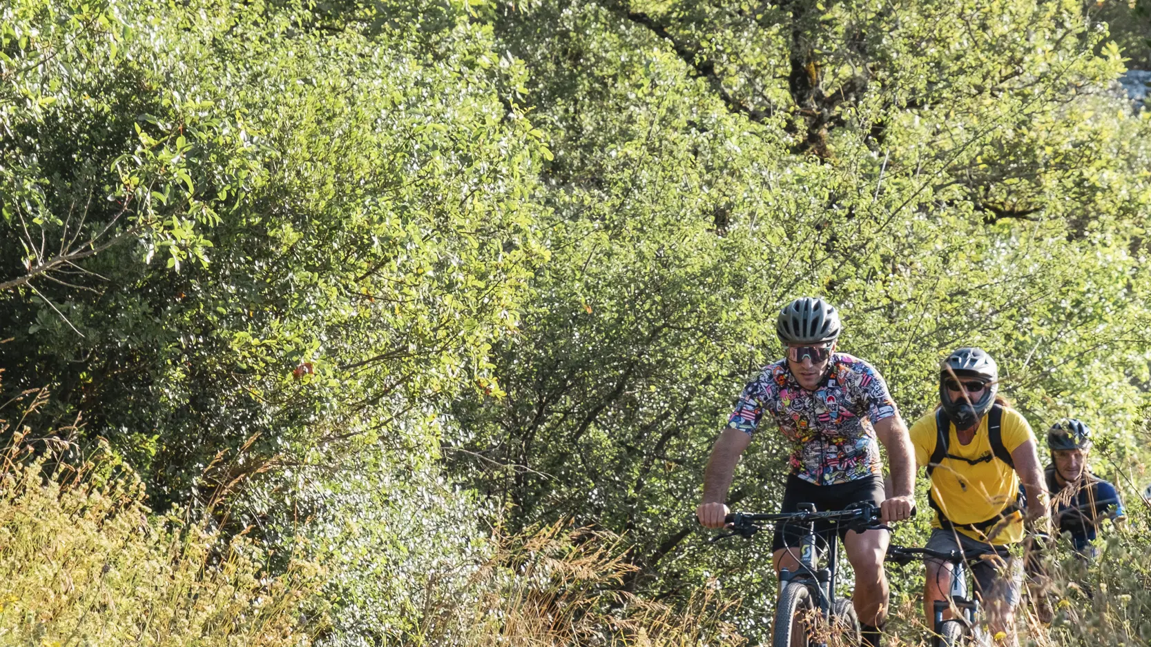
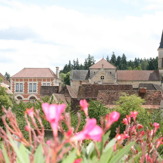
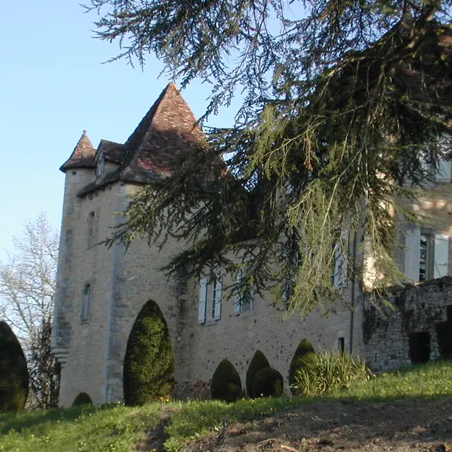
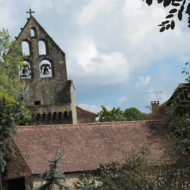
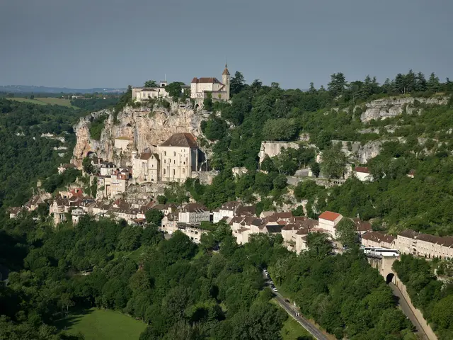
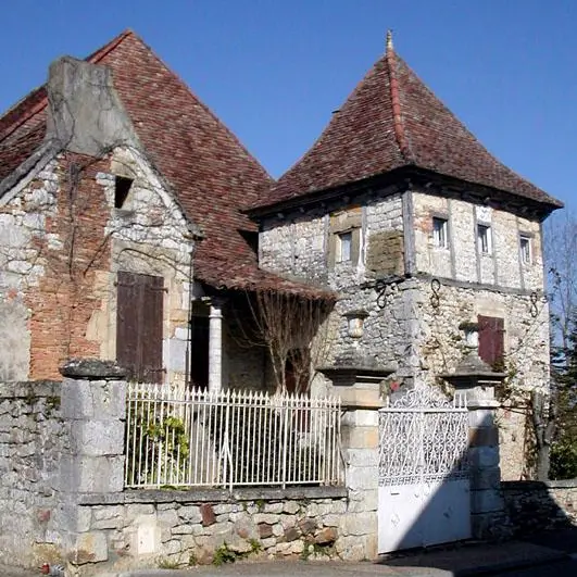
This circuit between Causse and Bouriane, located near Rocamadour, will allow you to discover the quality of a preserved landscape. Except for two sections with a strong difference in altitude, this route does not present any technical difficulty. However, be careful when crossing the D820.
Read more