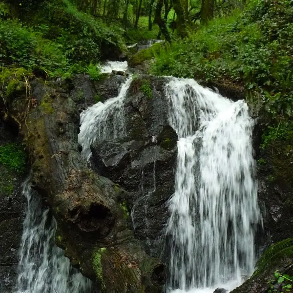
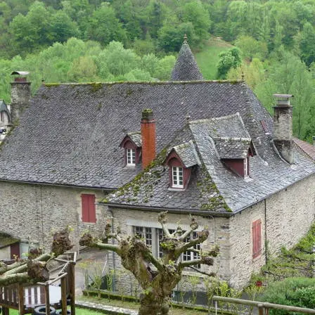
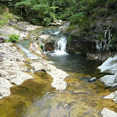
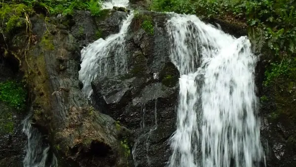
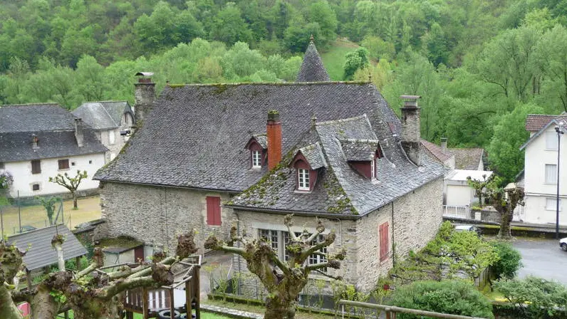
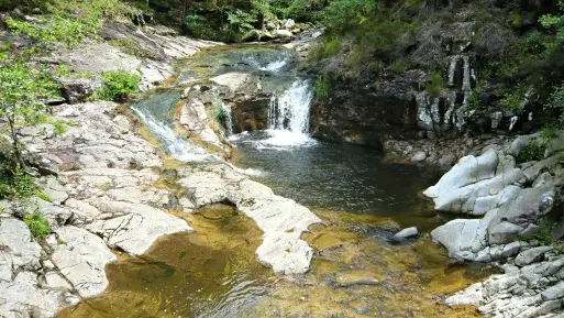
A round walk requiring a certain amount of effort but providing several remarkable viewpoints and a good insight into the characteristics of the Ségala's wild, untamed landscape. The impressive Cère gorges open into this landscape which resembles that of the Auvergne, and where the houses often have two levels of openings in their roofs covered with lauzes of schist. The hamlet of Laval-de-Cère (part of the commune of Cahus) which straggles up the slope, was given a boost in 1880 with the opening of the railway line linking Brive with Aurillac. The presence of water and of the railway encouraged industries to set up here.
Read more