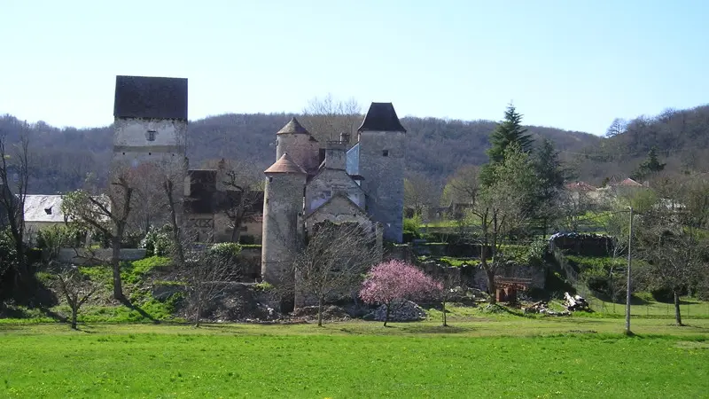
A pleasant walk enabling you to explore the hamlet of Lachièze and its odd mediaeval tower transformed by the Mirepoises order... At every viewpoint along the way, the eye is drawn to the landscapes of the valley and the edges of the Gramat and Martel causses dotted with several villages whose ancient origins are linked to the activities generated by the river. Their origin often goes back to the Gallo-Roman period, since the Dordogne, from Antiquity until the 19th C., was a navigable route along which precious salt from the Atlantic, wood from the Auvergne for use in the vineyards and Bordeaux wine were transported. Mediaeval pilgrims going to Rocamadour used the ports of these villages.
Read more