It is hard to imagine that these enigmatic and wild places crossed by the path were once animated by a large traffic of carriages from Auvergne.
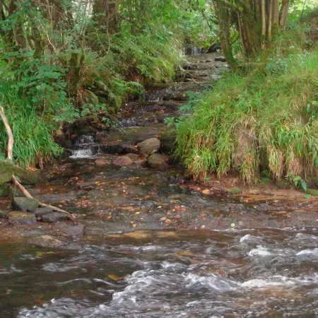
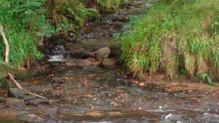
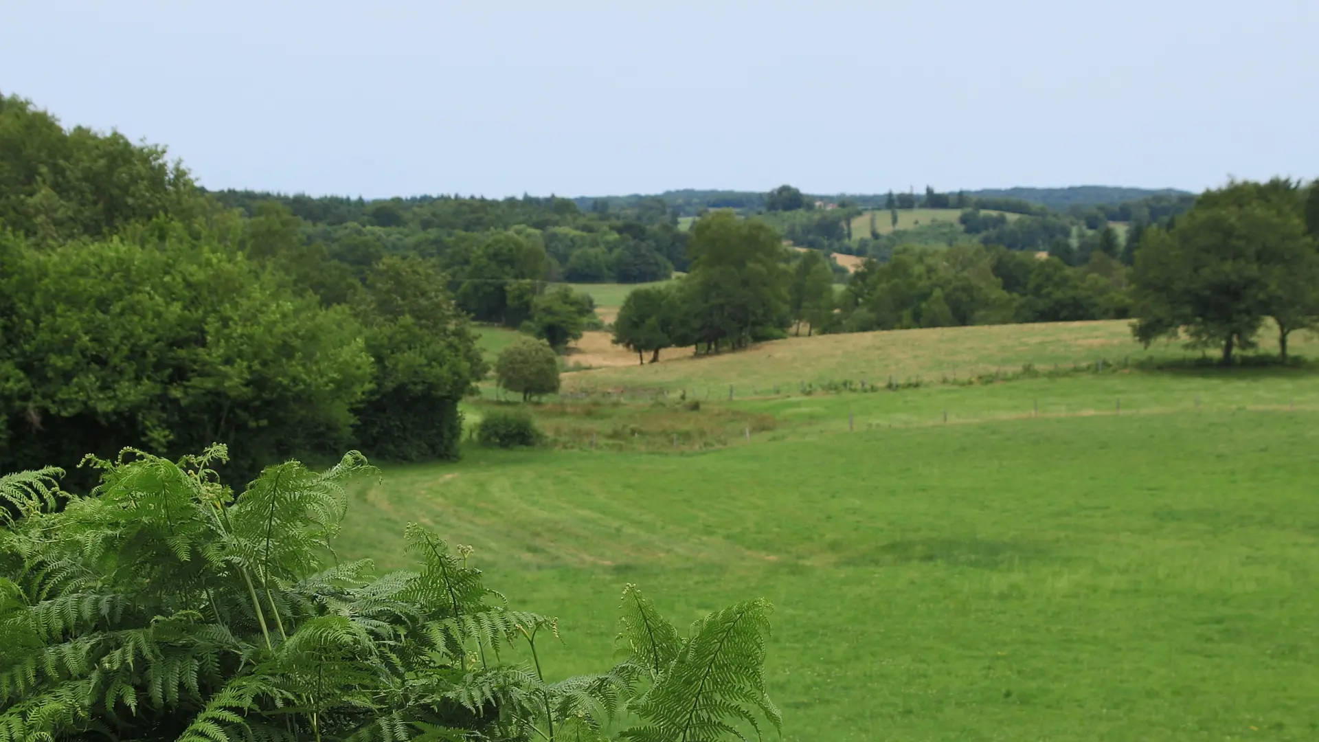
This walk allows you to discover the very wild, dense, almost secret, typically Segalian side of nature: both from the point of view of the forest (chestnut trees, beeches, conifers, birch trees...), the flora (many heathers, ferns, holly), of course the fauna, but also all this humidity due to a large number of rus, streams, waterfalls (more or less present), and the geological nature of the soil similar to that of the neighbouring Cantal. Everything is unique in this rich nature.
Read more