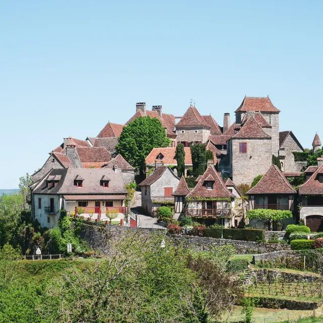
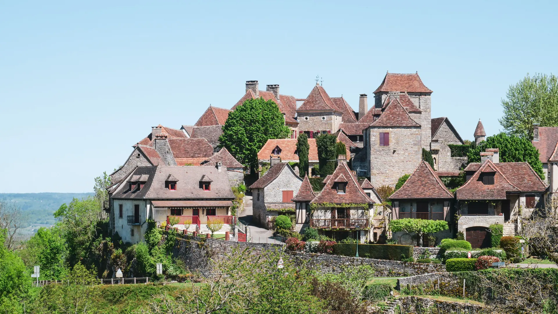
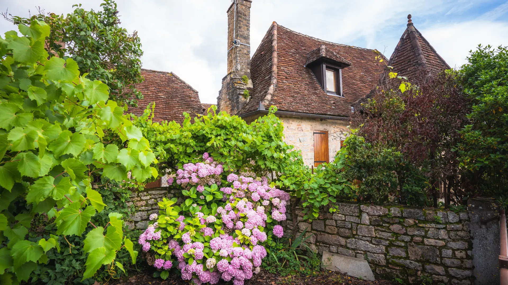
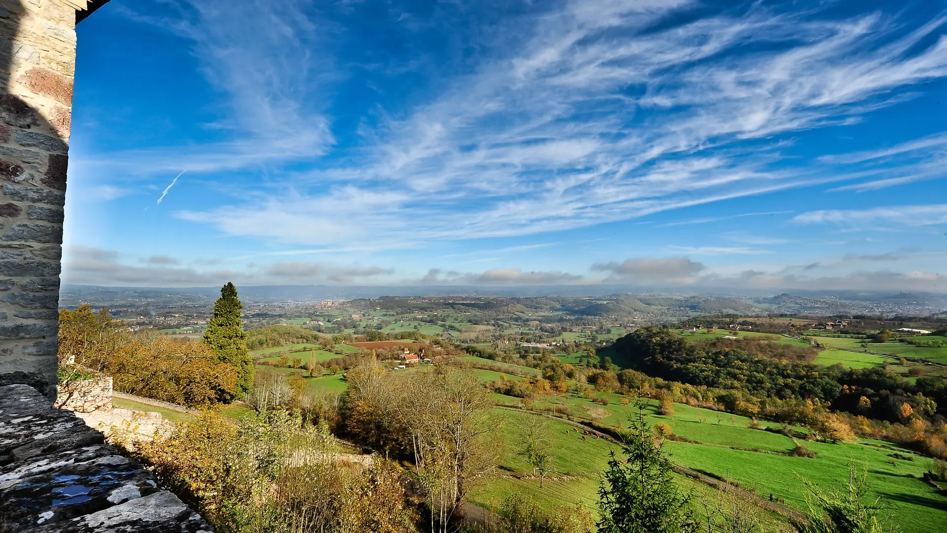
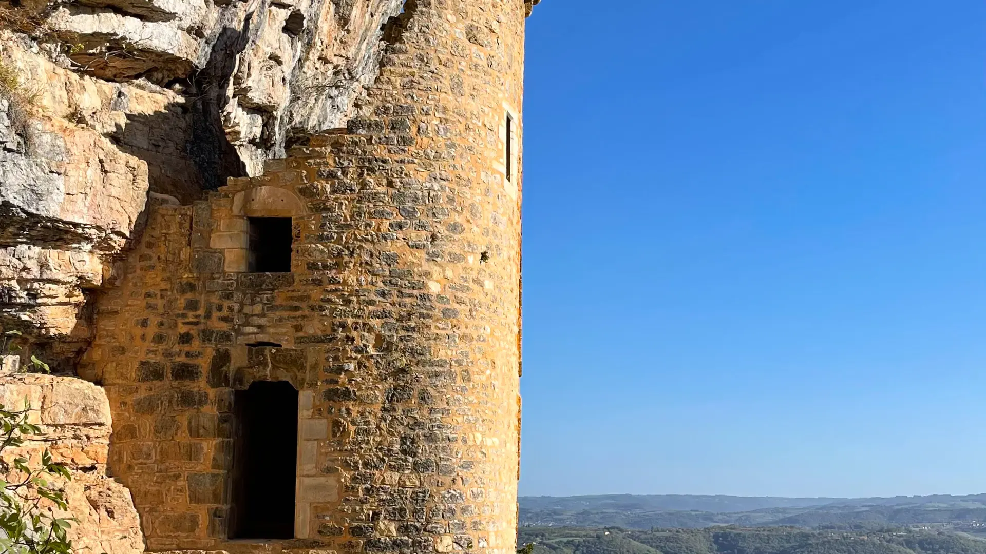
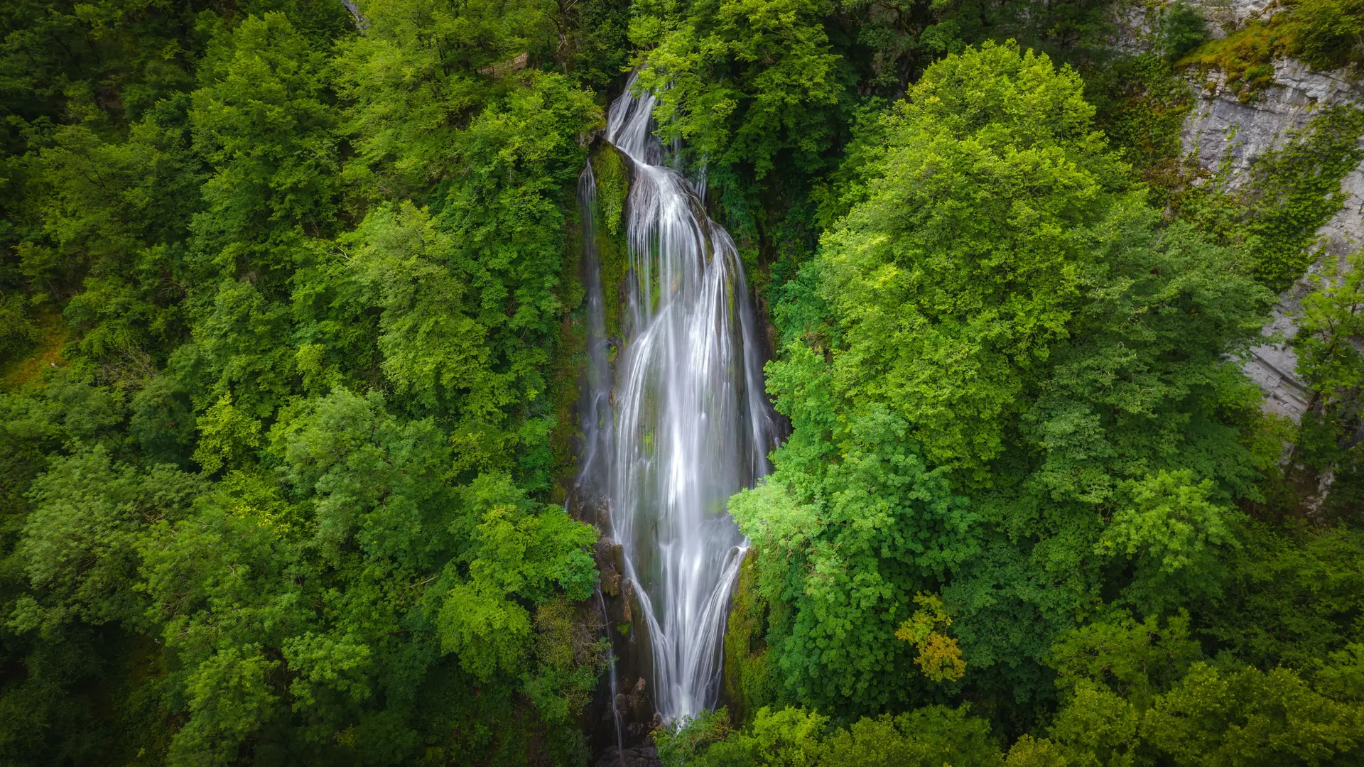
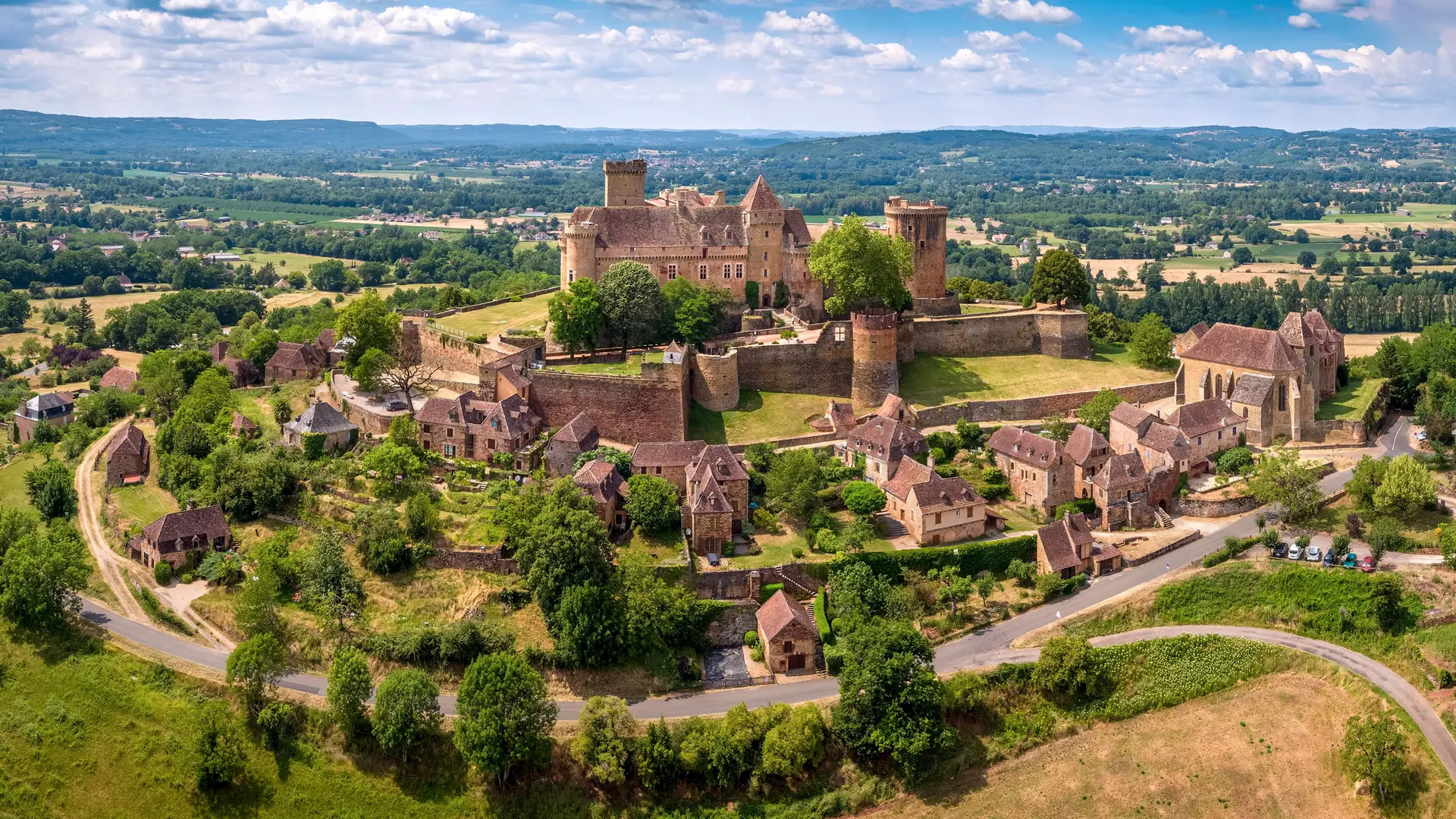
This walk takes you to see two of the "Most Beautiful Villages in France" : Loubressac, perched on its promontory with an unrivalled view over the Cère, Bave and Dordogne valleys ; then Autoire, the picturesque village itself, the impressive bay of cliffs above it and its waterfall (make a small detour if you want to see it from below, because this round walk does not pass that way.) You'll see the cliffs and the ruins of the "Château de Anglais" (fortification built into the cliff), plus the Gramat Causse with its stony paths, dry stone walls, dolmen, dry stone huts.. A sharp descent, a climb which requires a bit of effort - all part of an unforgettable walk providing unique views !
Read more