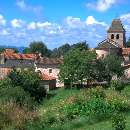
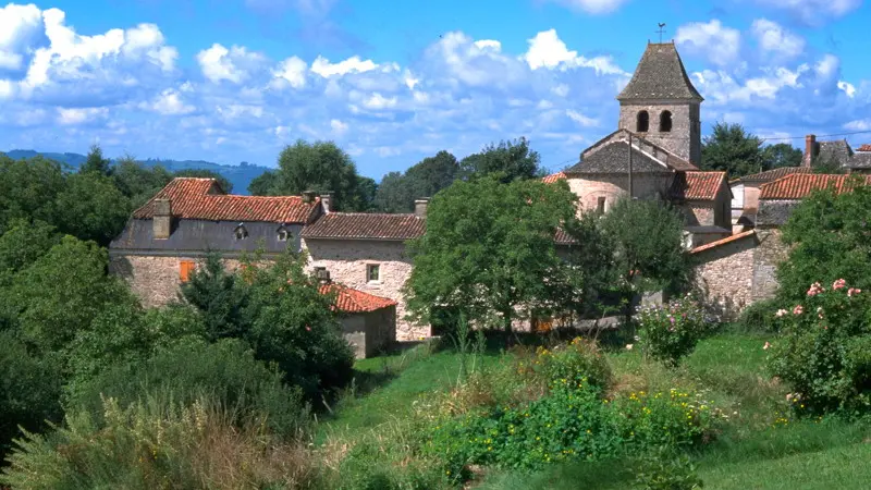
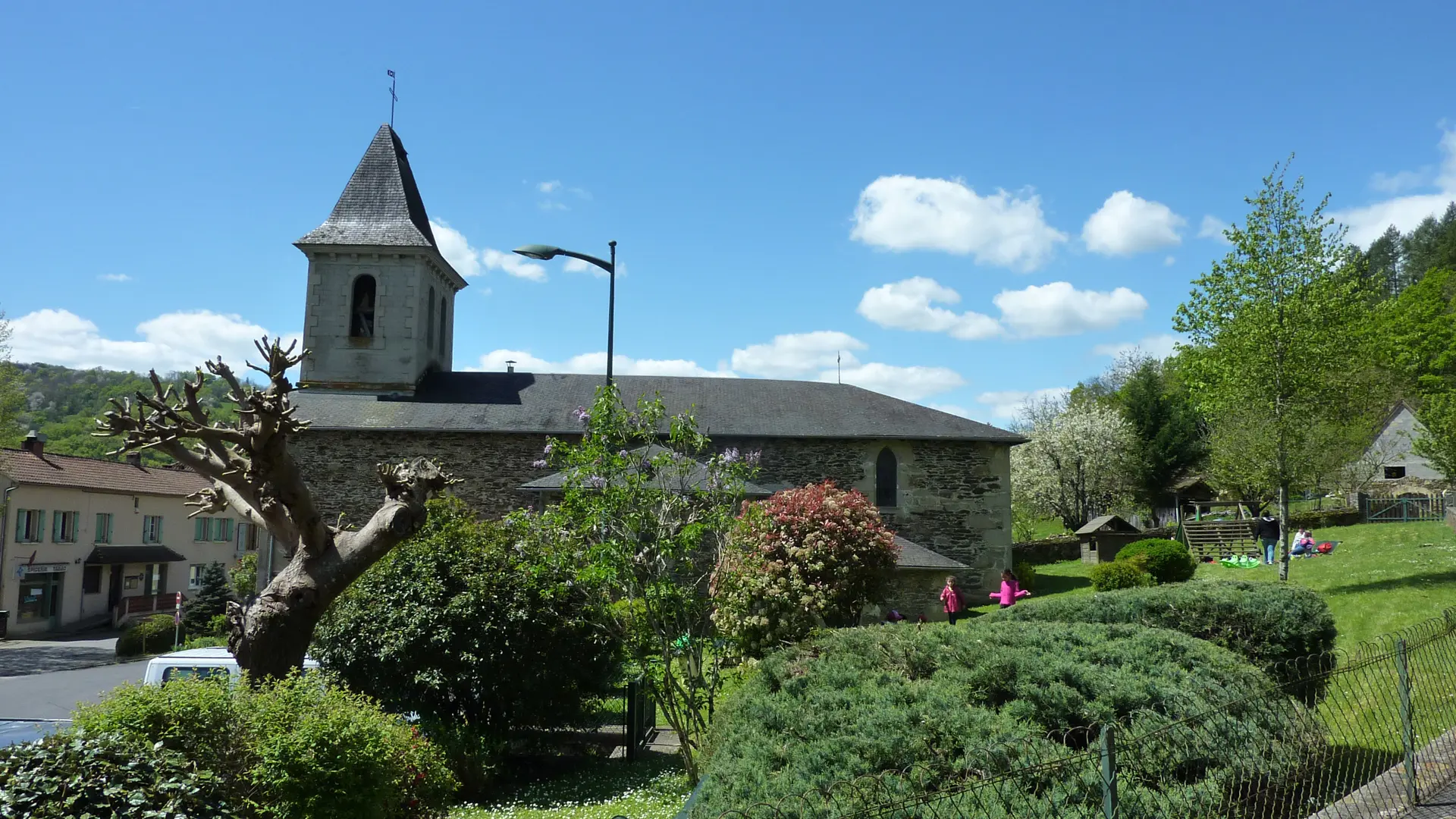
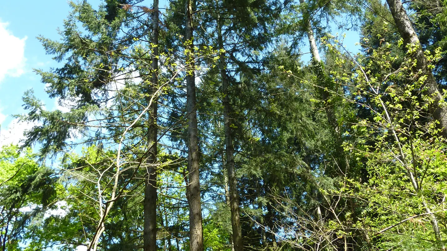
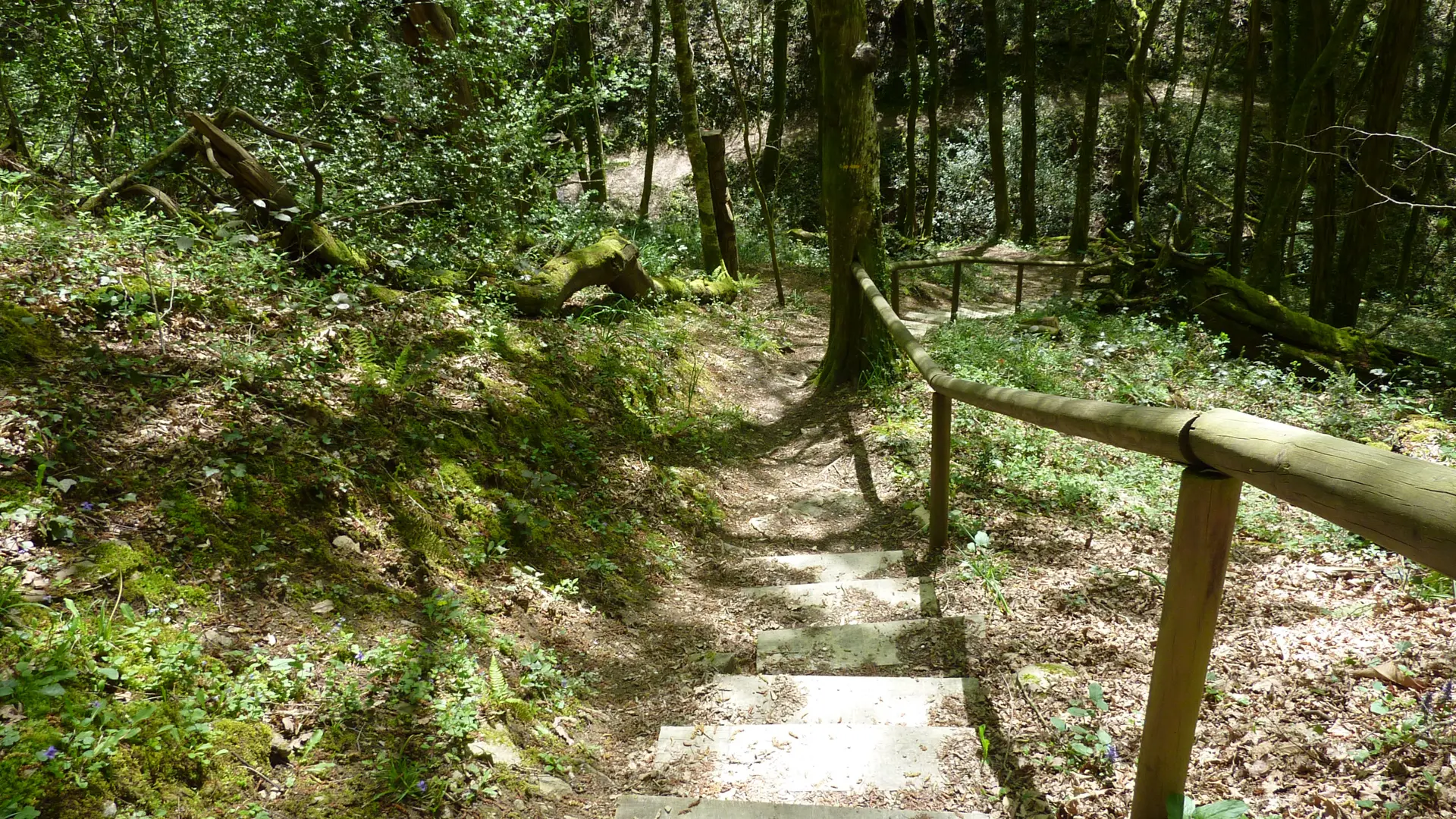
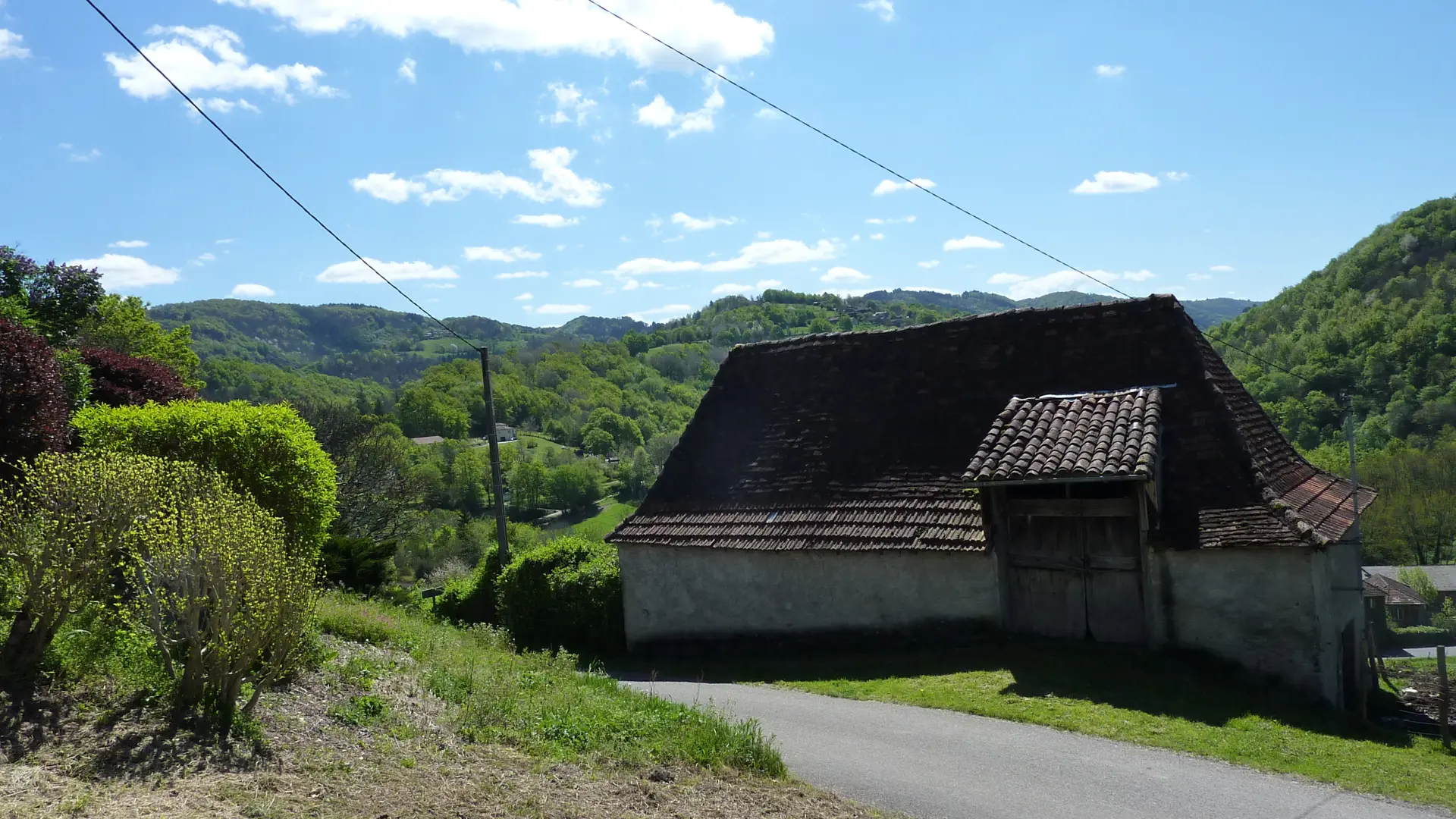
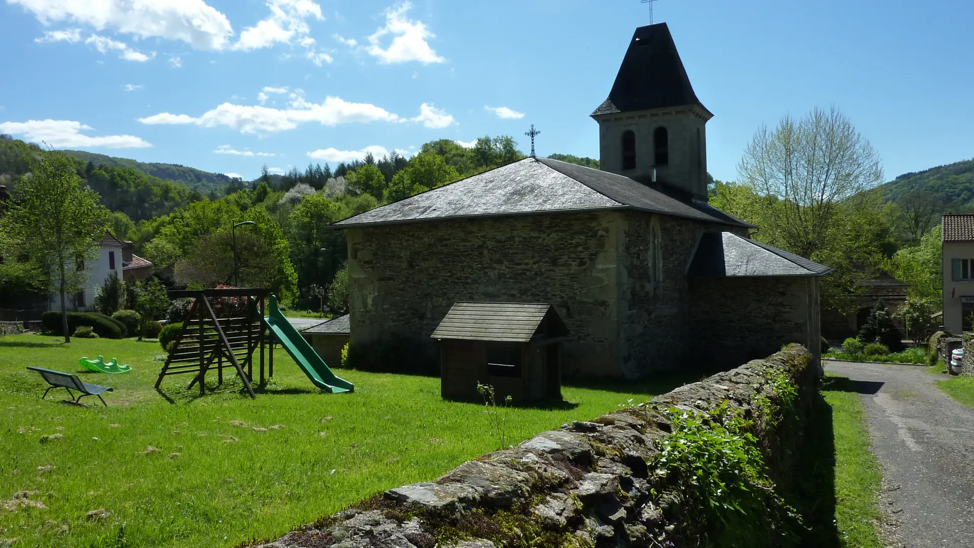
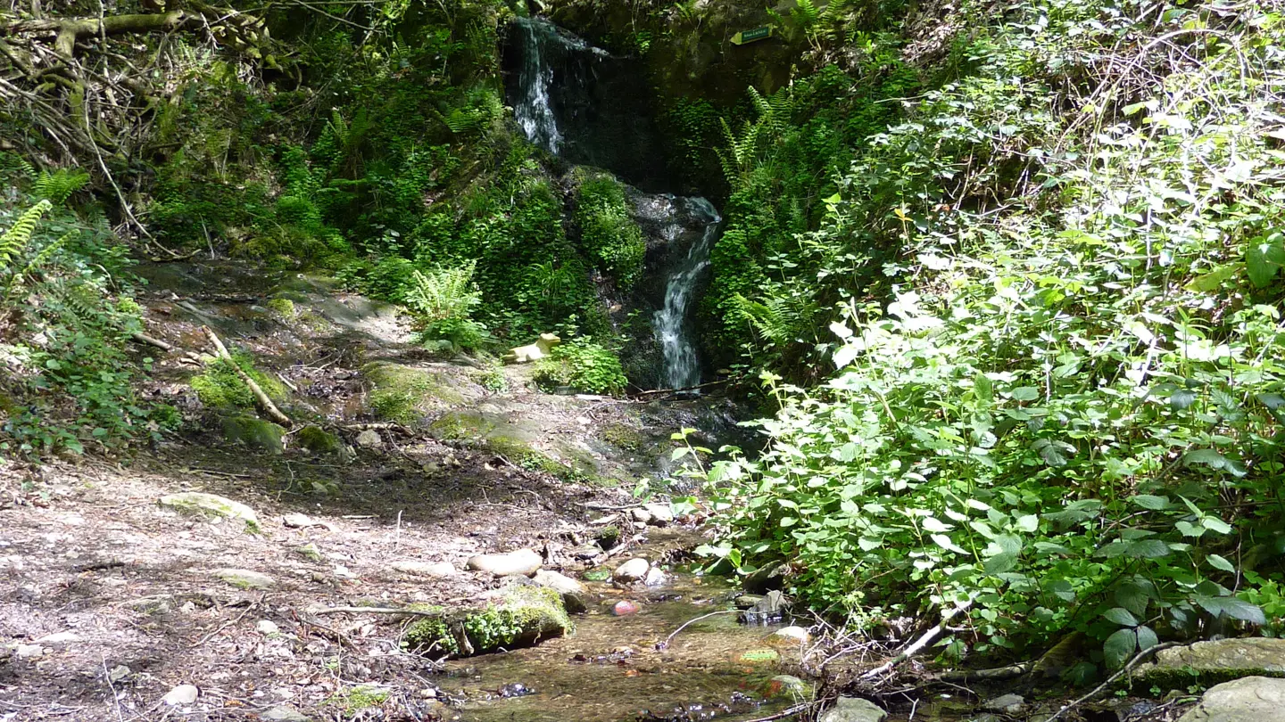
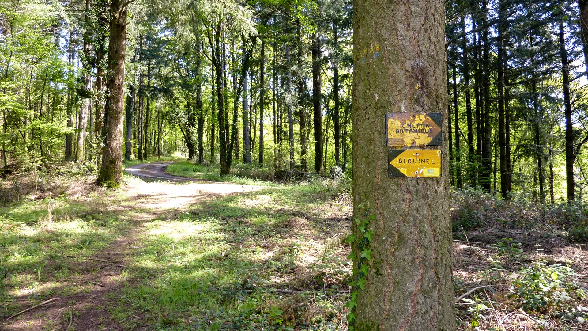
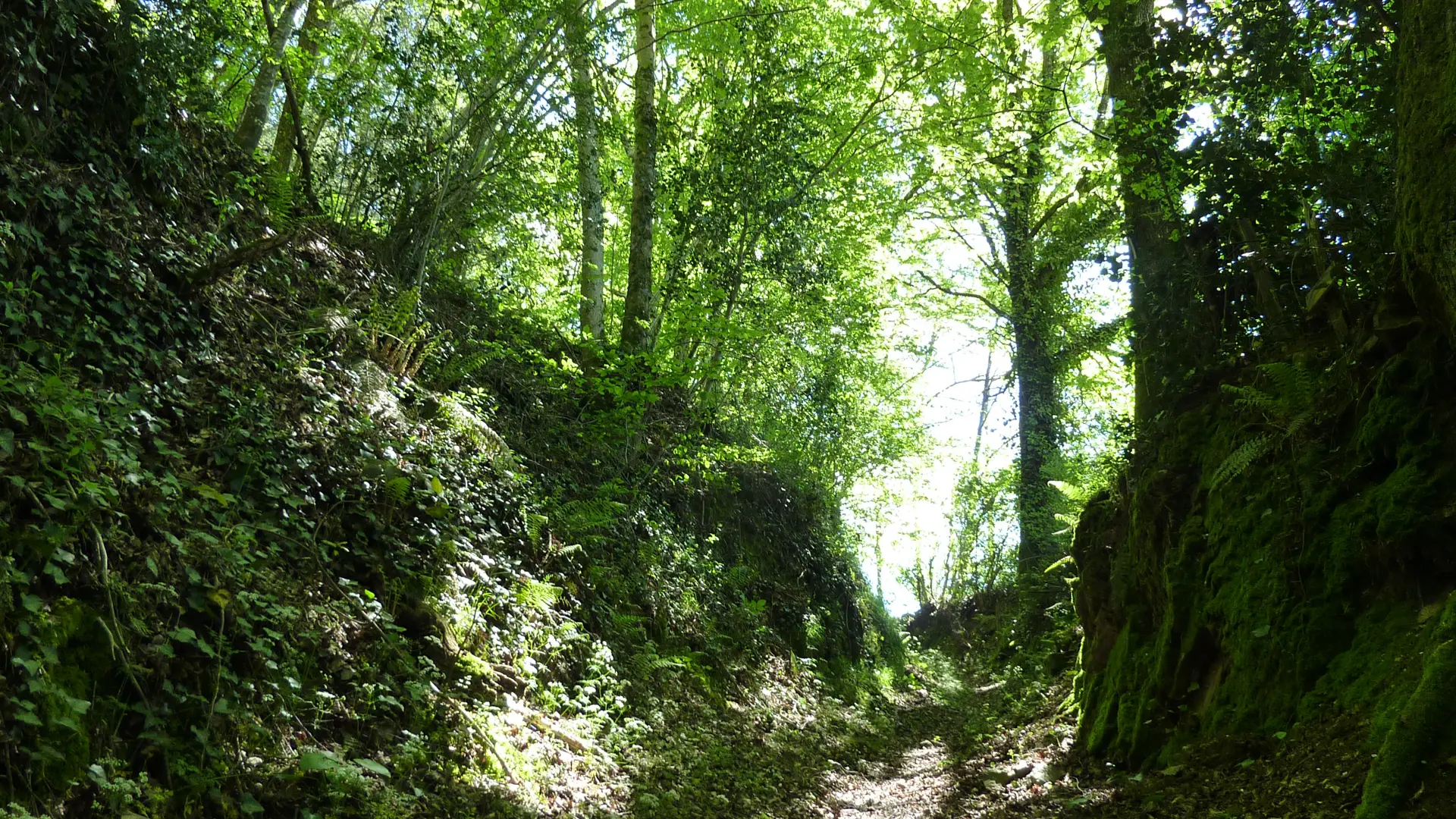
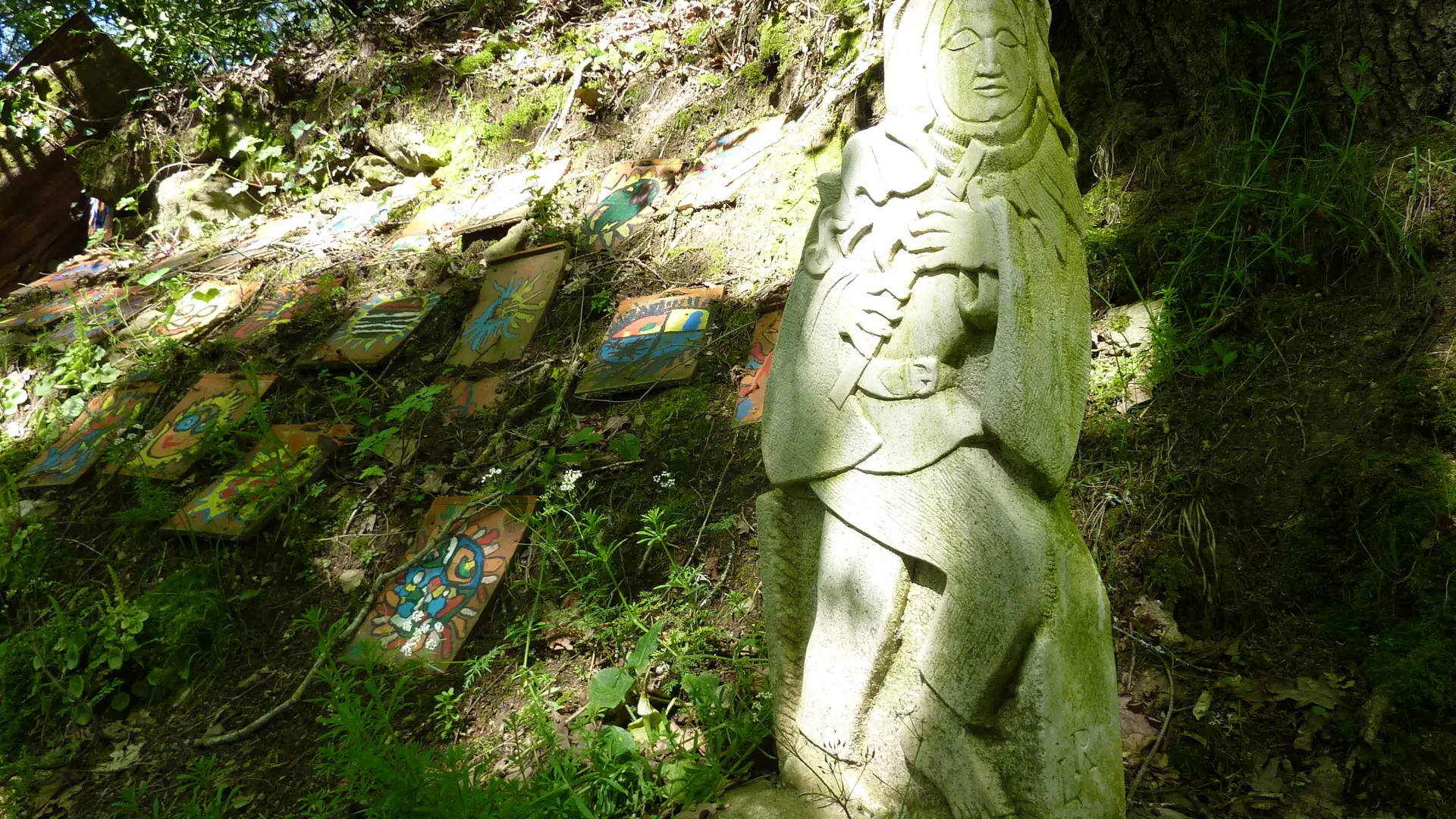
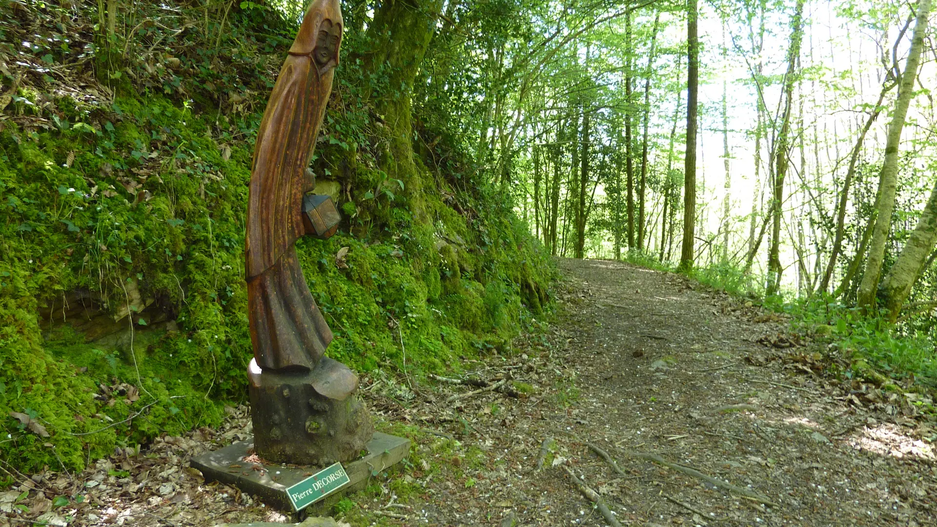
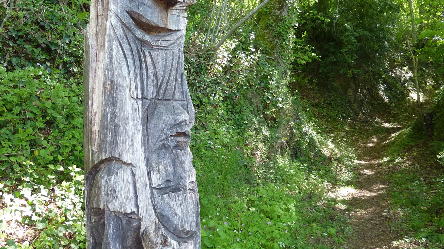
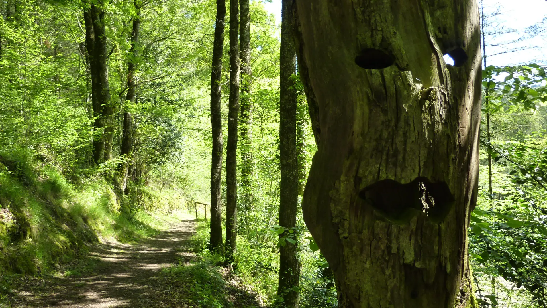
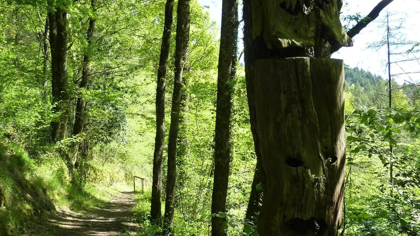
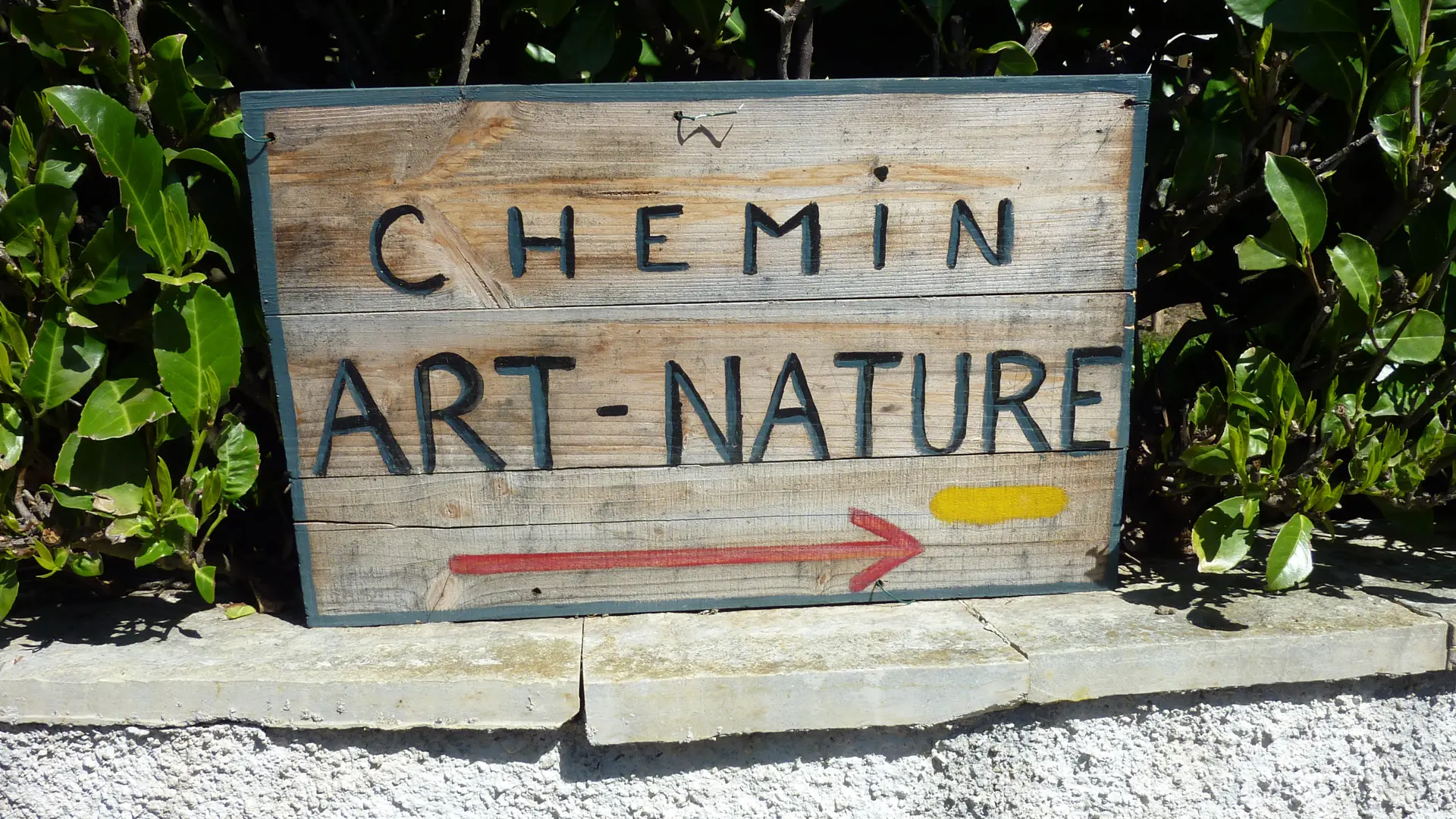
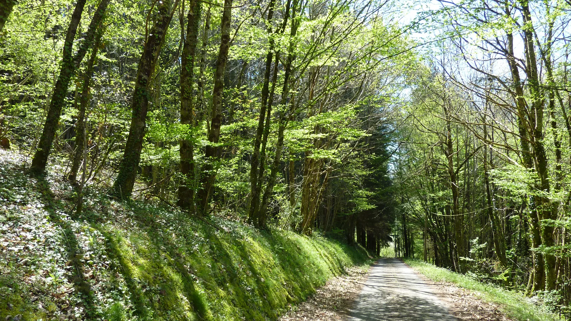
A walk that is as fascinating as it is amusing, on the Ségala plateau. After climbing up with views over the valley, charming woodland will lead you into a completely different universe. You can dream idly and wander through this world peopled with unusual art works, at the same time admiring the exceptionally varied flora. This tour was created through the initiative of an association whose vocation was to bring life to the village and to protect the local rural heritage. Today, sculptures and information panels stand beside the track and make it into a real artistic and botanical path. A round walk which will delight people of all ages.
Read more