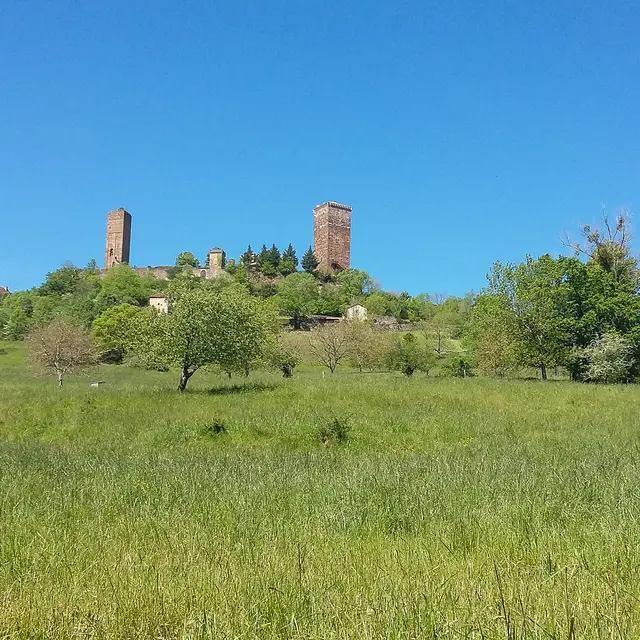
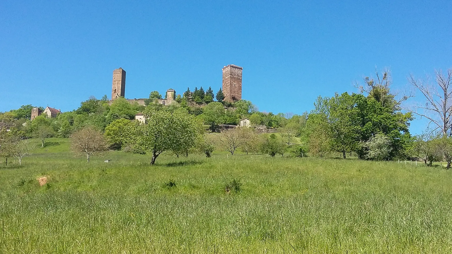
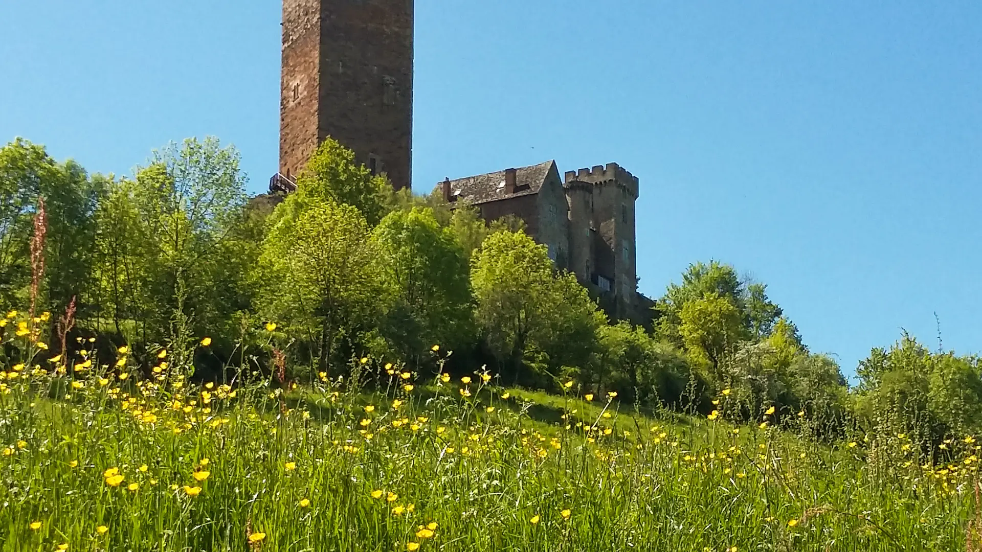
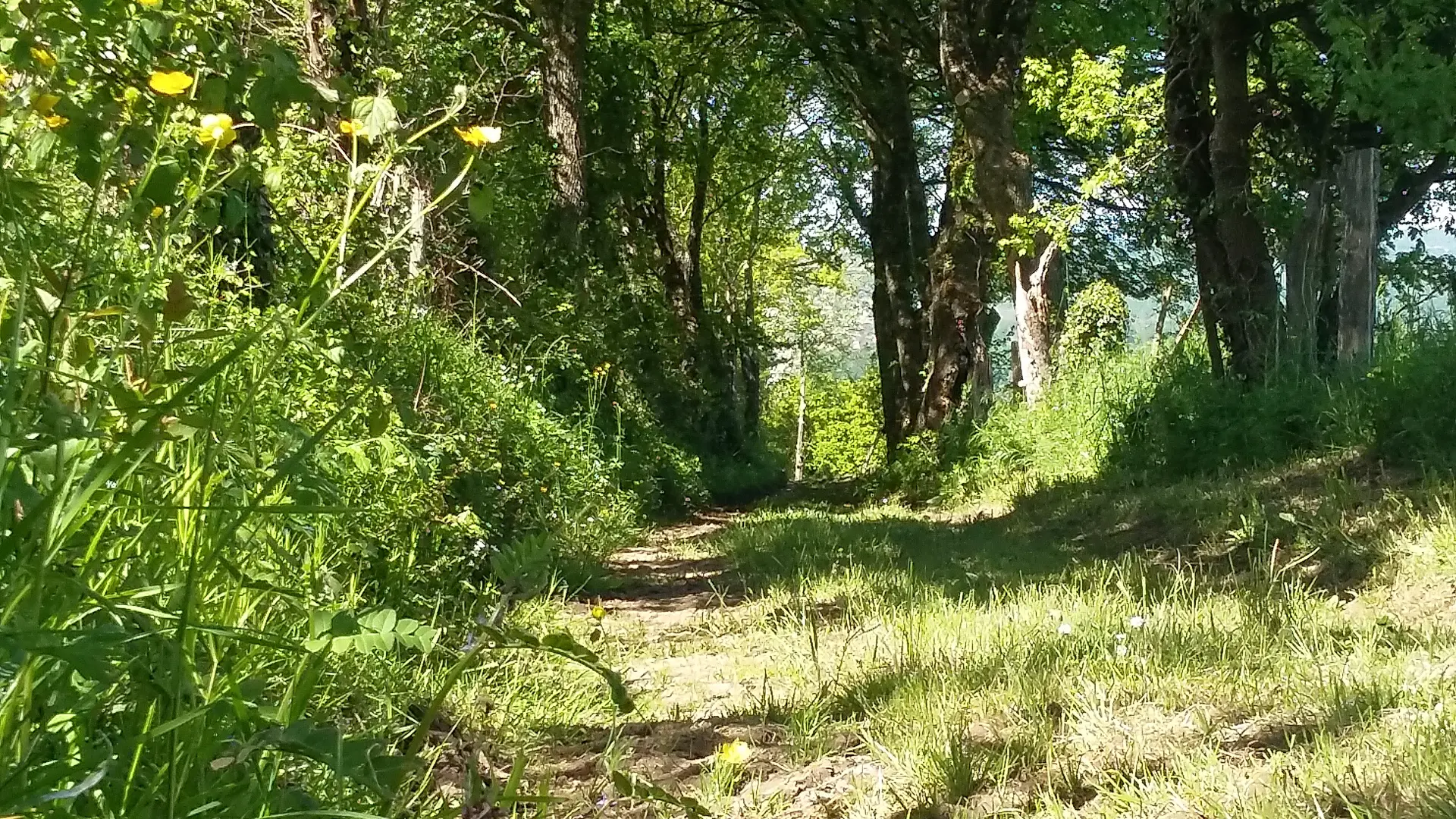
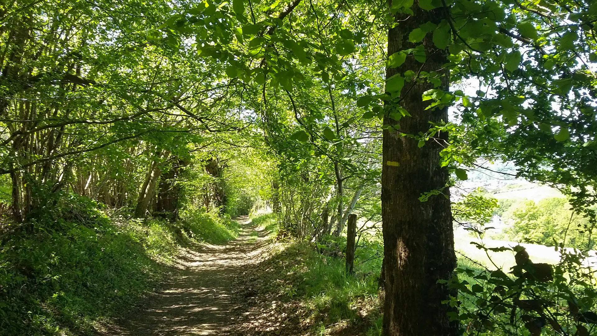
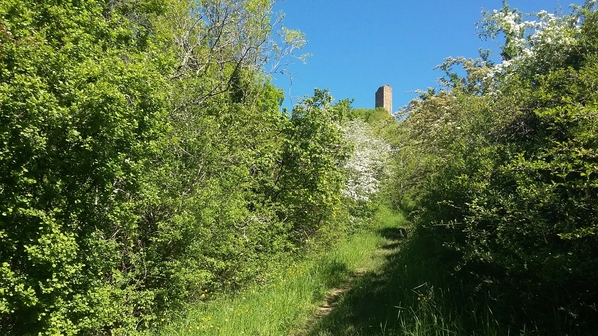
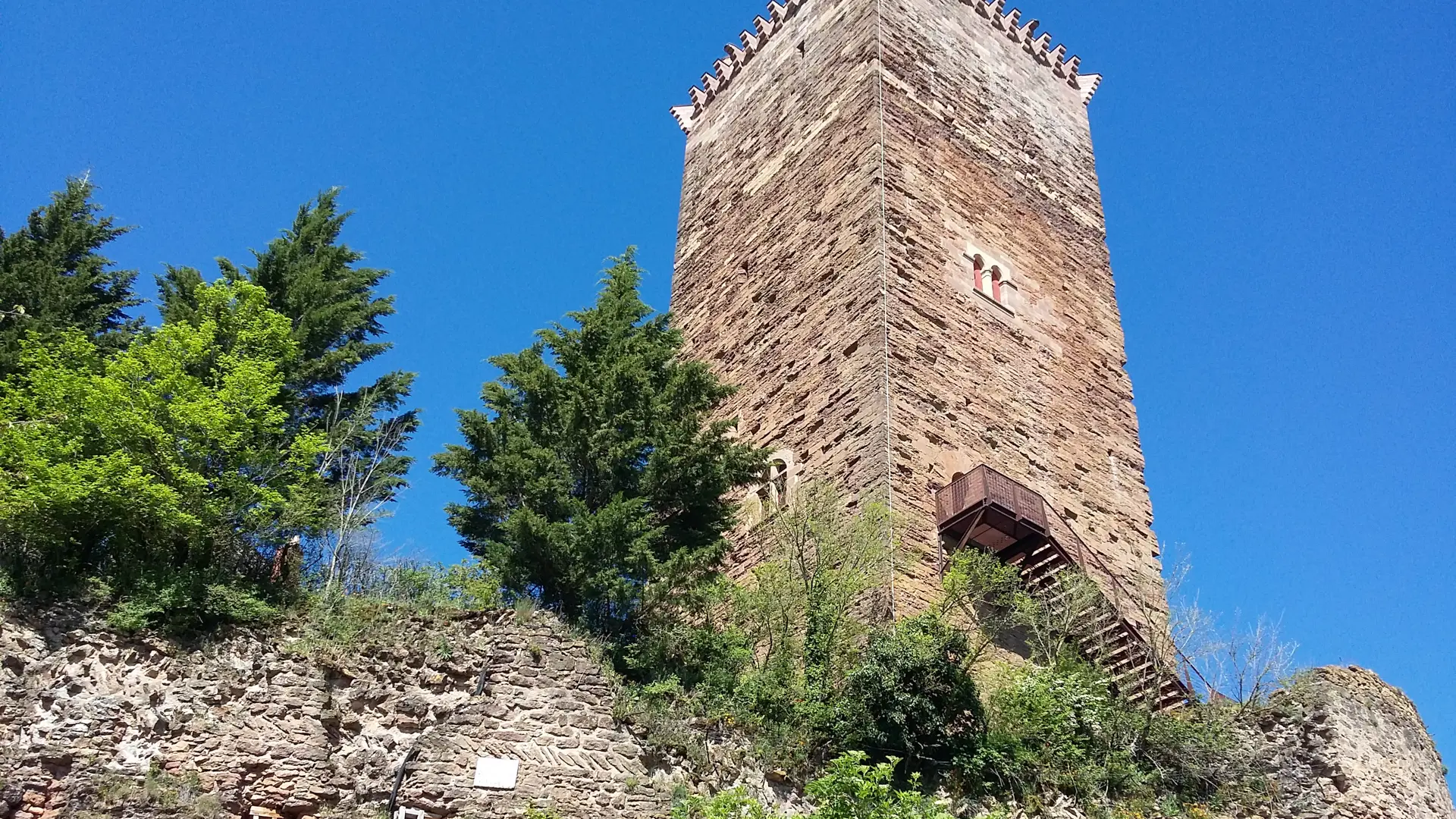
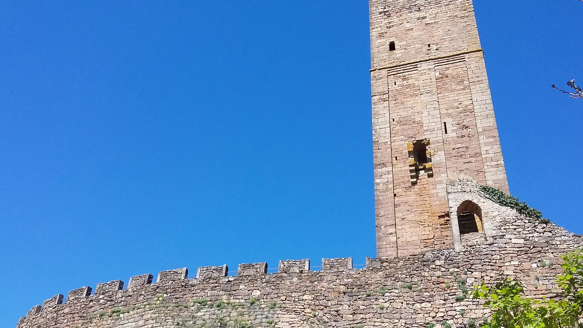
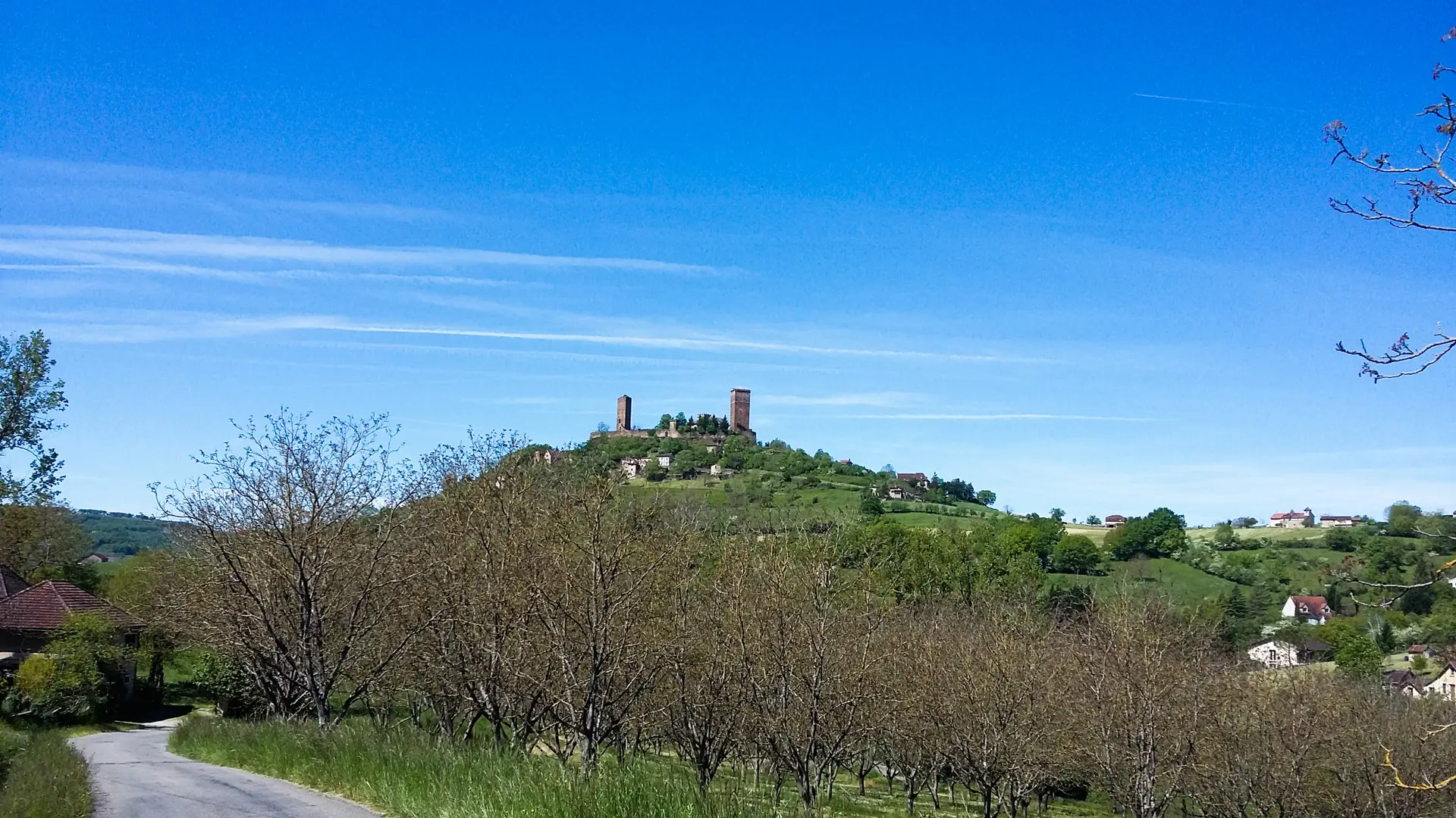
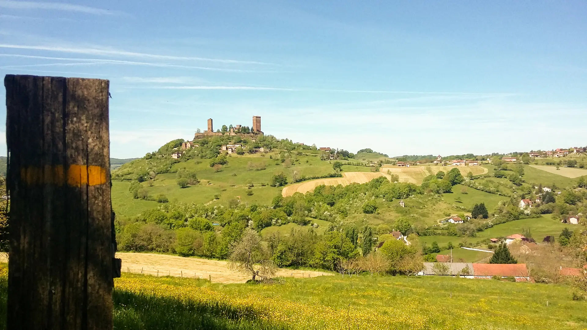
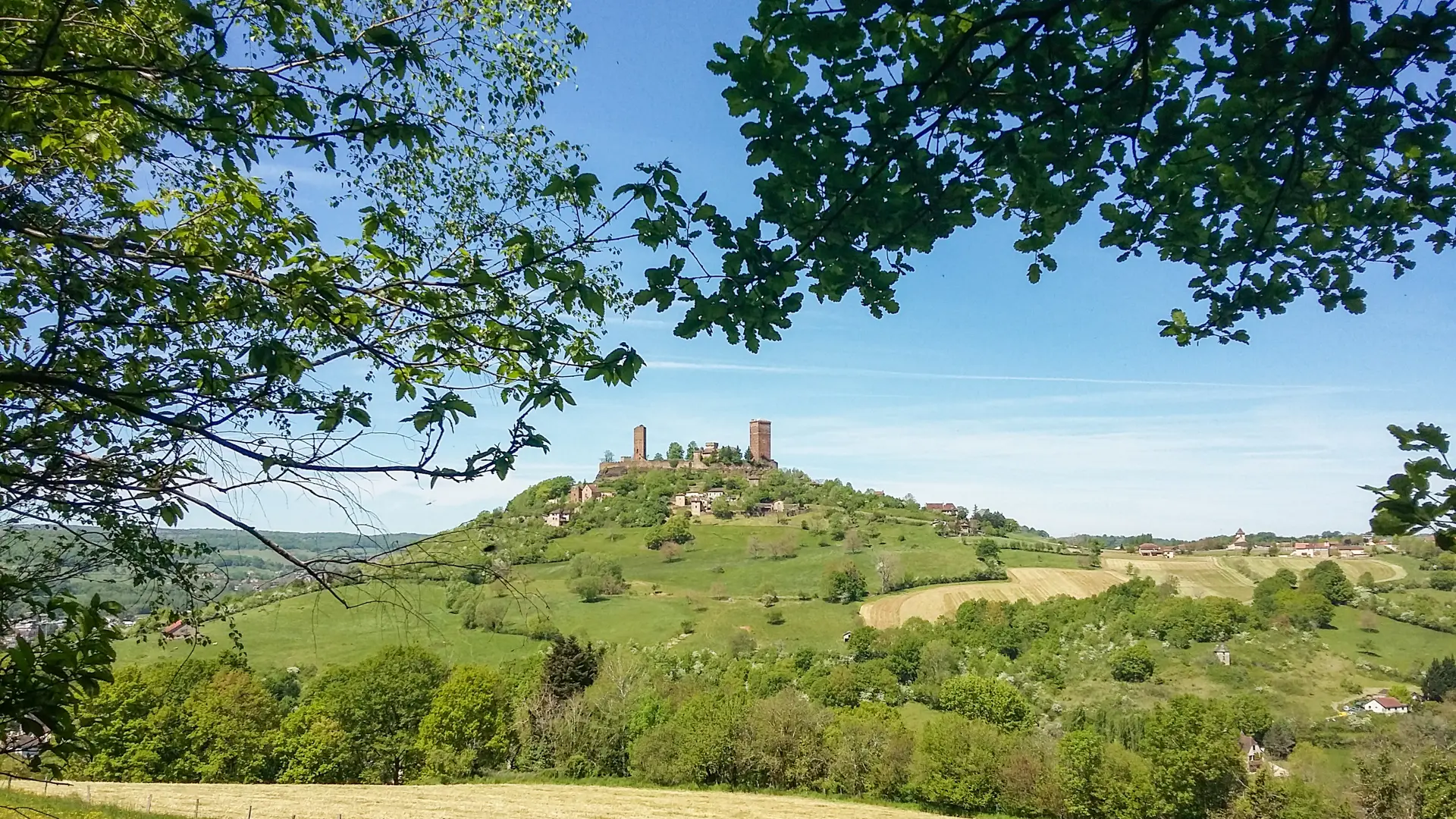
This path leads you up to the heights to the former castrum of a certain Sérénus, the local lord, who gave his name to the town which grew up below the fort. in the Middle Ages, the castle of Saint-Laurent-les-Tours was strategically placed where three regions came together : the Limousin, Auvergne and Quercy. In 1945, Jean Lurçat, who revitalised modern tapestry making, bought it and lived there until his death in 1966. Ideal for meditation and reflection, this place became his studio, a canvas on which to experiment, and each stone retains the artist's imprint. The workshop-cum-museum provides a moving insight into the daily work of the artist, over a period of twenty years.
Read more