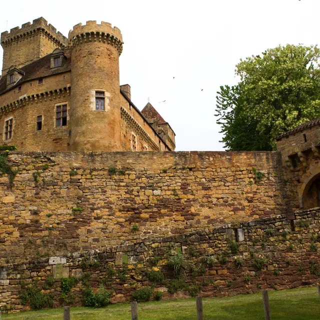
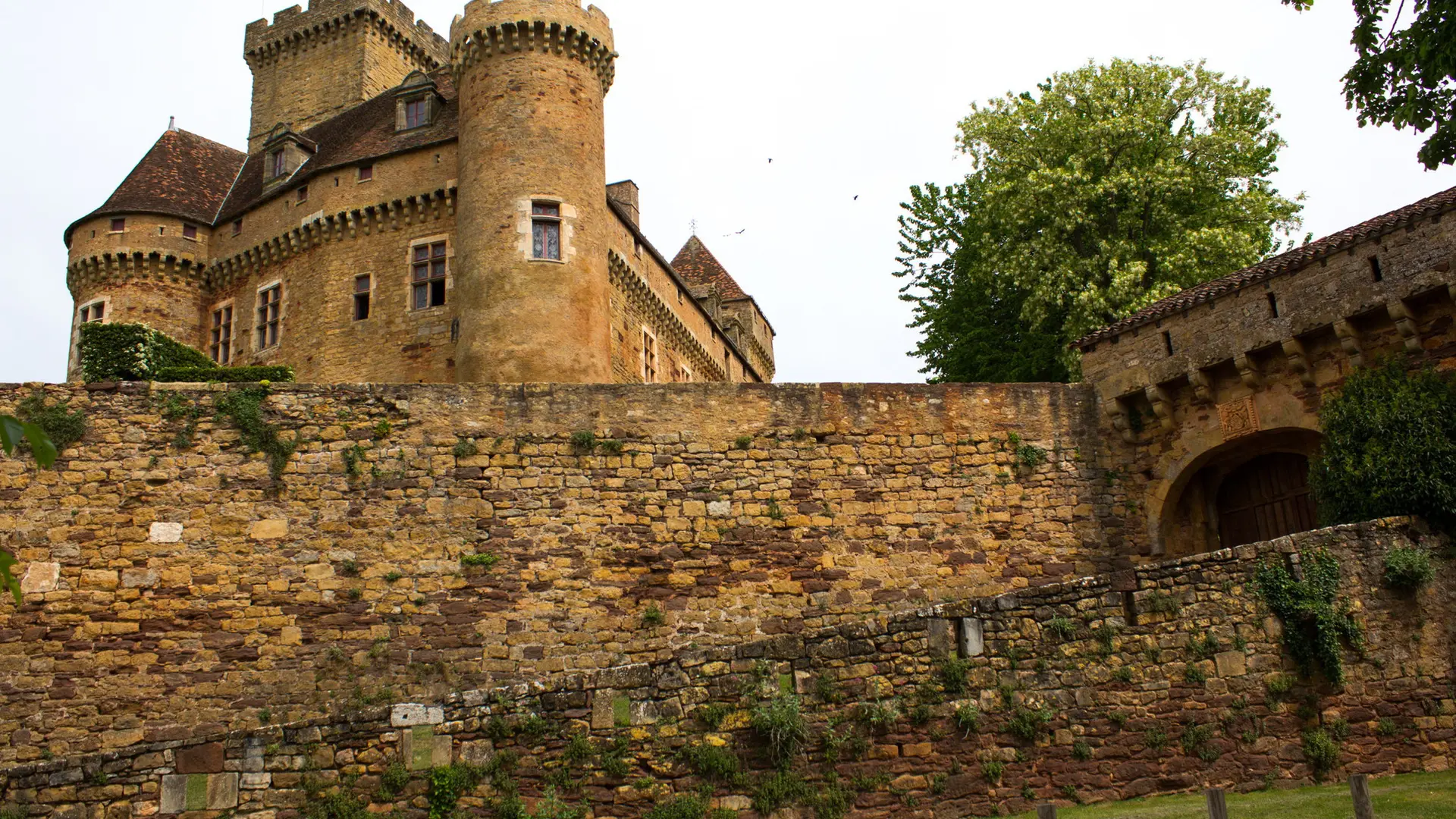
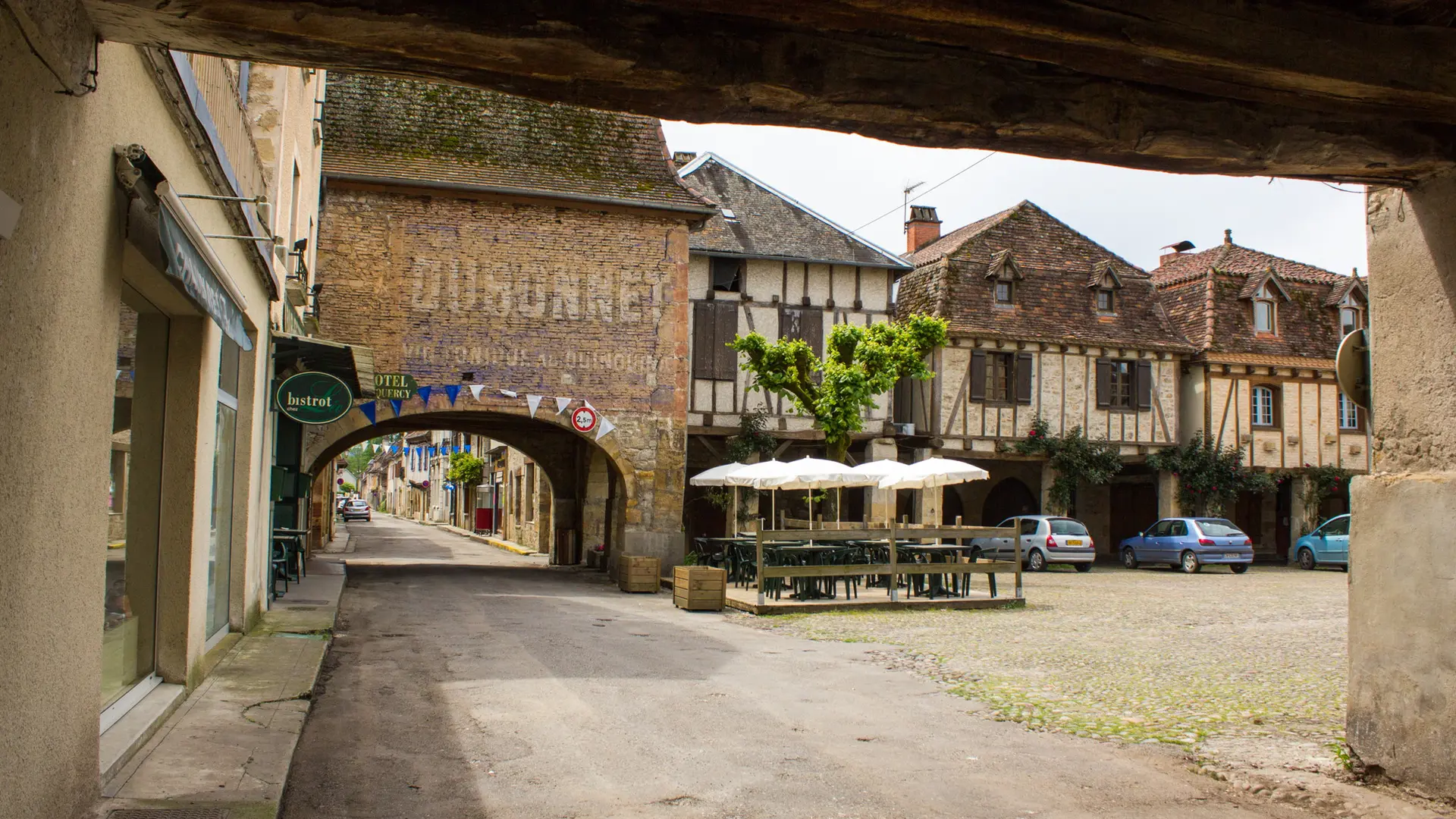
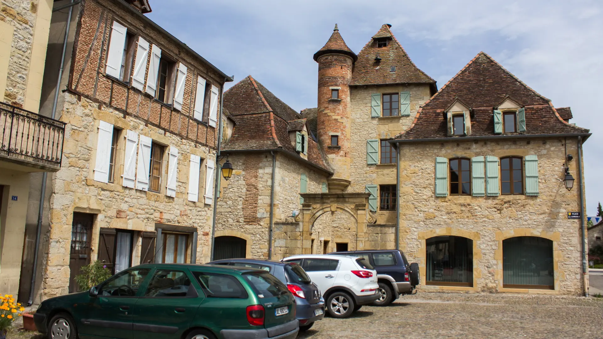
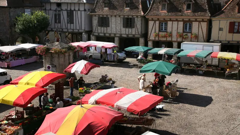
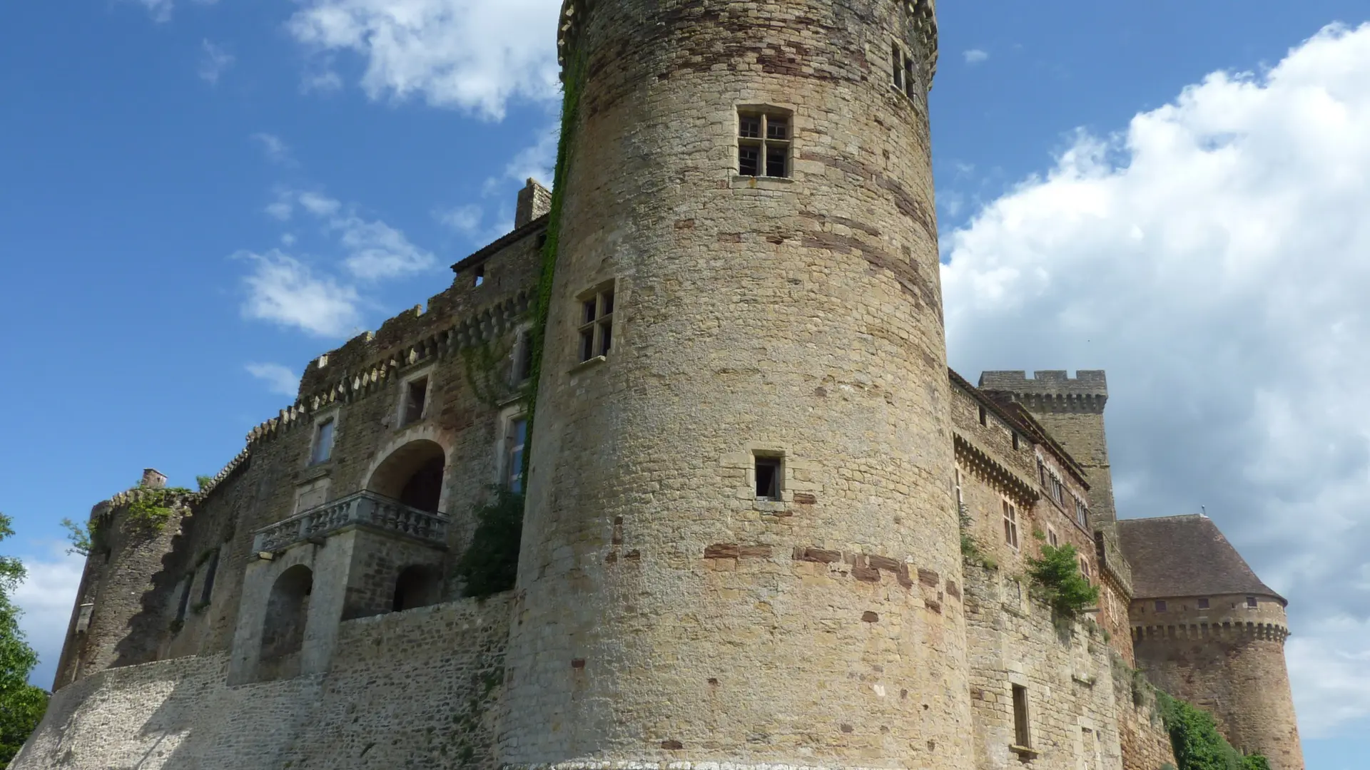
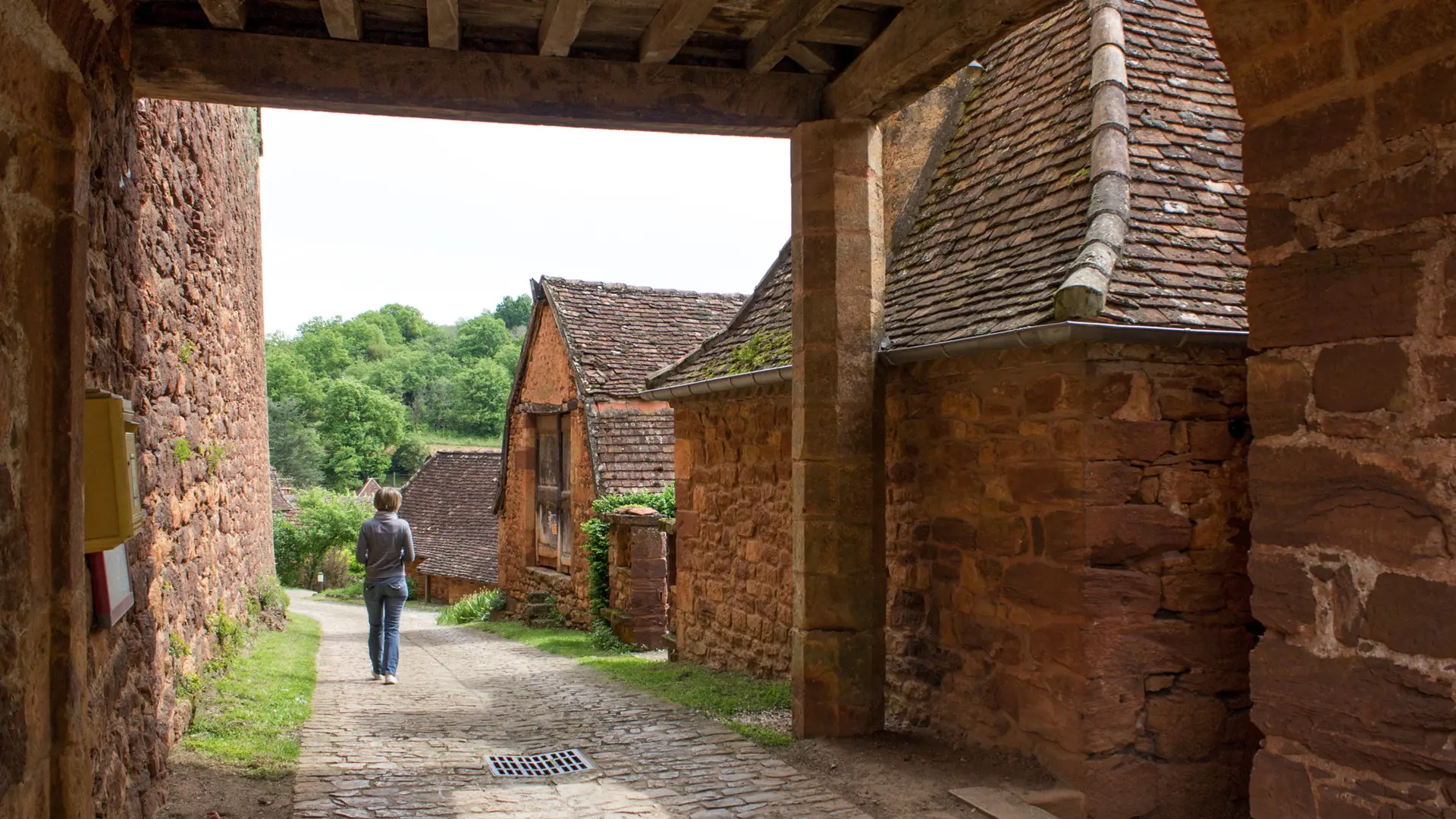
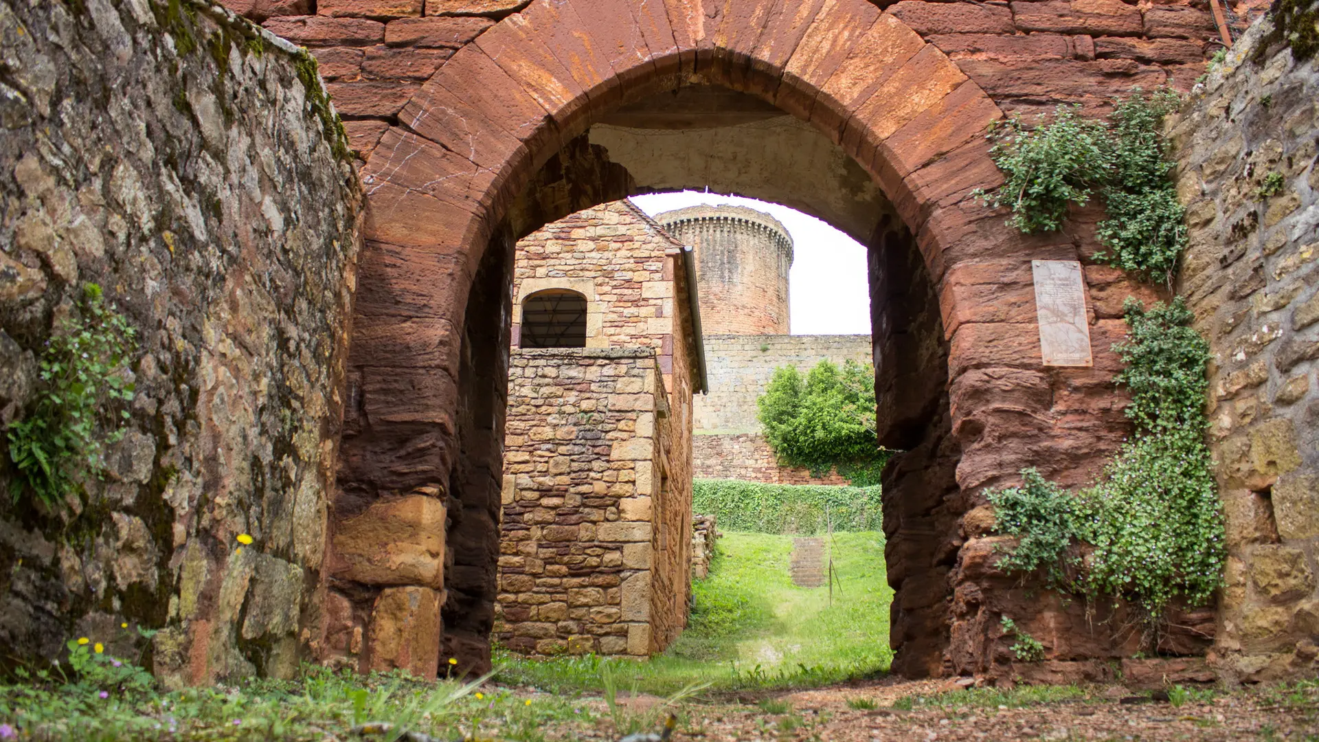
Start on the attractive paved square of the bastide of Bretenoux. You then go up a shady woodland path with a rich flora, where you will see a small natural spring. When you come out on the plateau, you go through several plantations of fruit trees - walnut and cherry - a real picture in springtime. Then you drop down towards the imposing Castelnau Castle, solidly implanted atop a hill at an altitude of 204m. The whole ensemble is striking : the ochre colour of the stone, the powerful fortress and the lovely Gothic architecture of the houses. Then you head for the hamlet of Félines with its church of Saint Pierre and Chapel of Notre-Dame, before returning to Bretenoux.
Read more