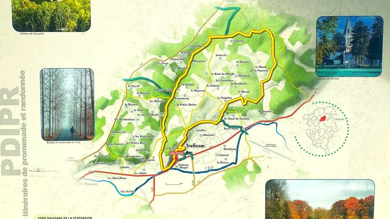
The town of Trélissac, long crossed by the departmental road (RN) 21, was identified under the name of Traillissac on the Cassini map of France between 1756 and 1789.
In the 19th century, the communal buildings, located in a humid area, needed numerous and costly repairs. Between 1870 and 1874, a new village center was built on the other side of the National Road 21, including the church, the presbytery, the town hall, the school, with their outbuildings and gardens, following a proposal by Alfred Magne and at his own expense.
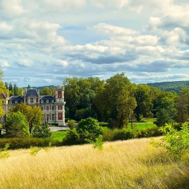
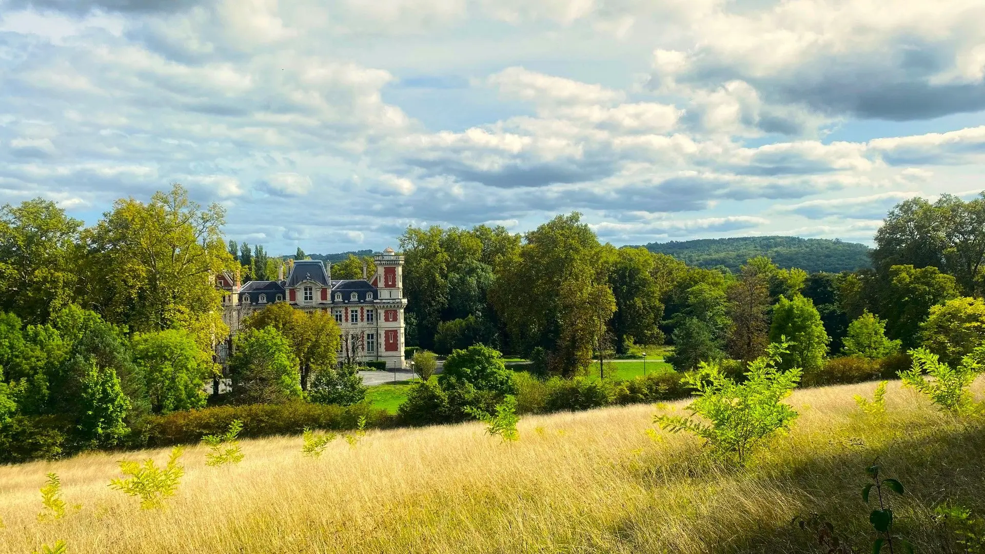
When the work was completed, Alfred Magne became the owner of the old buildings and land on the banks of the river Isle, on which he would later build the Château Magne and its park.