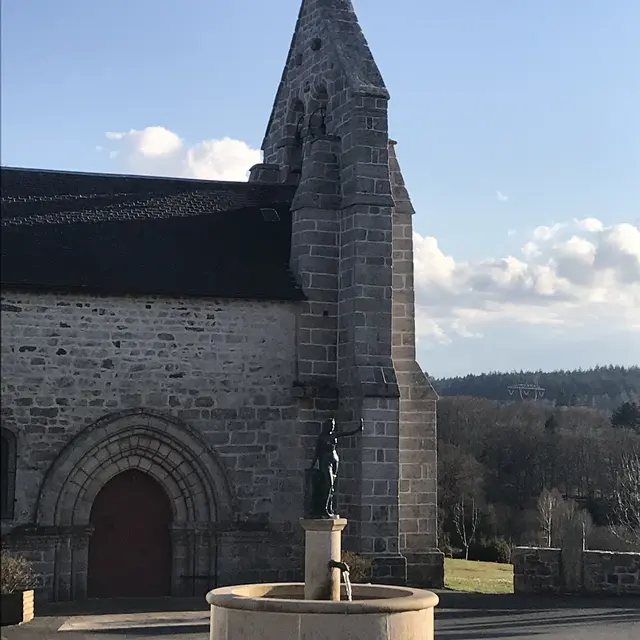
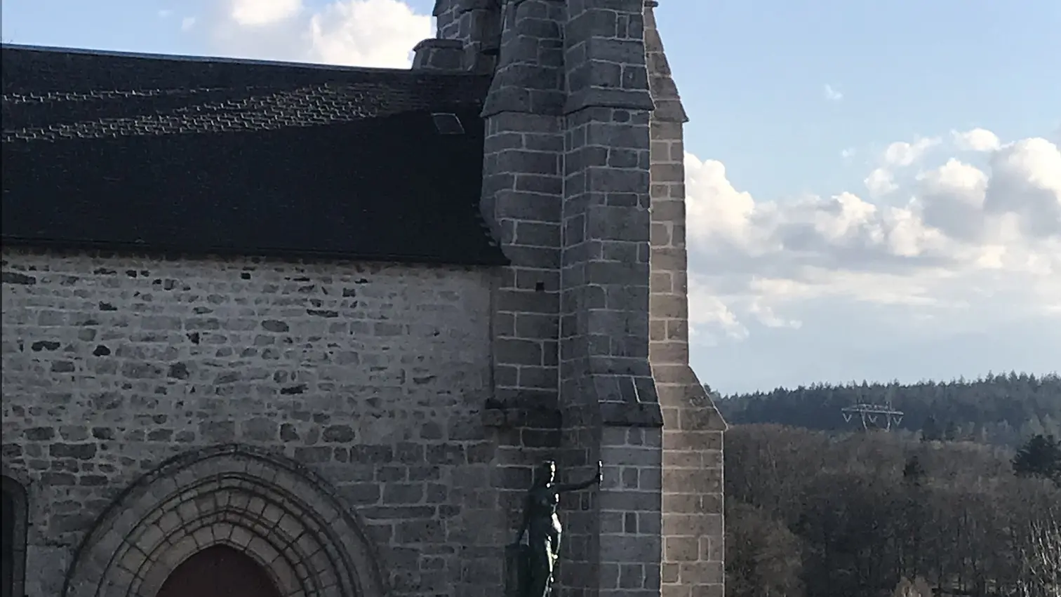
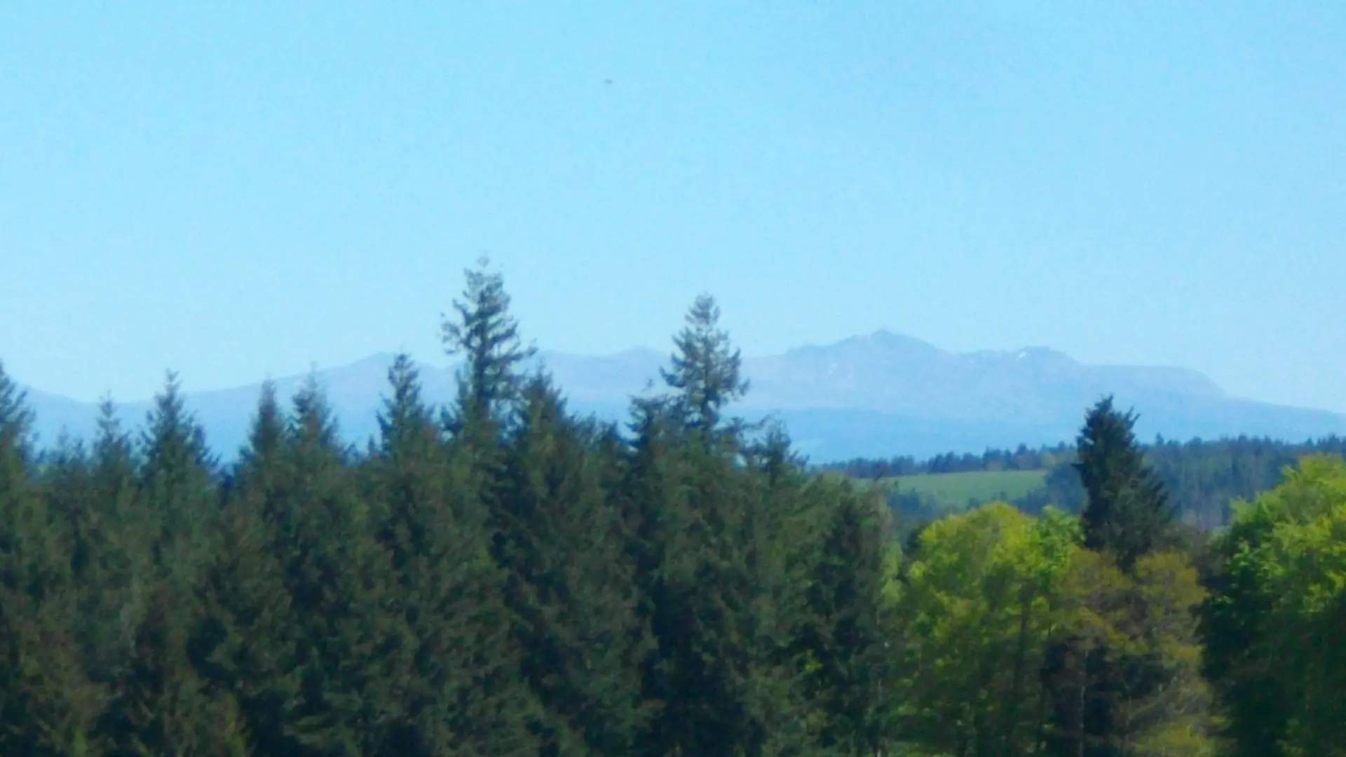
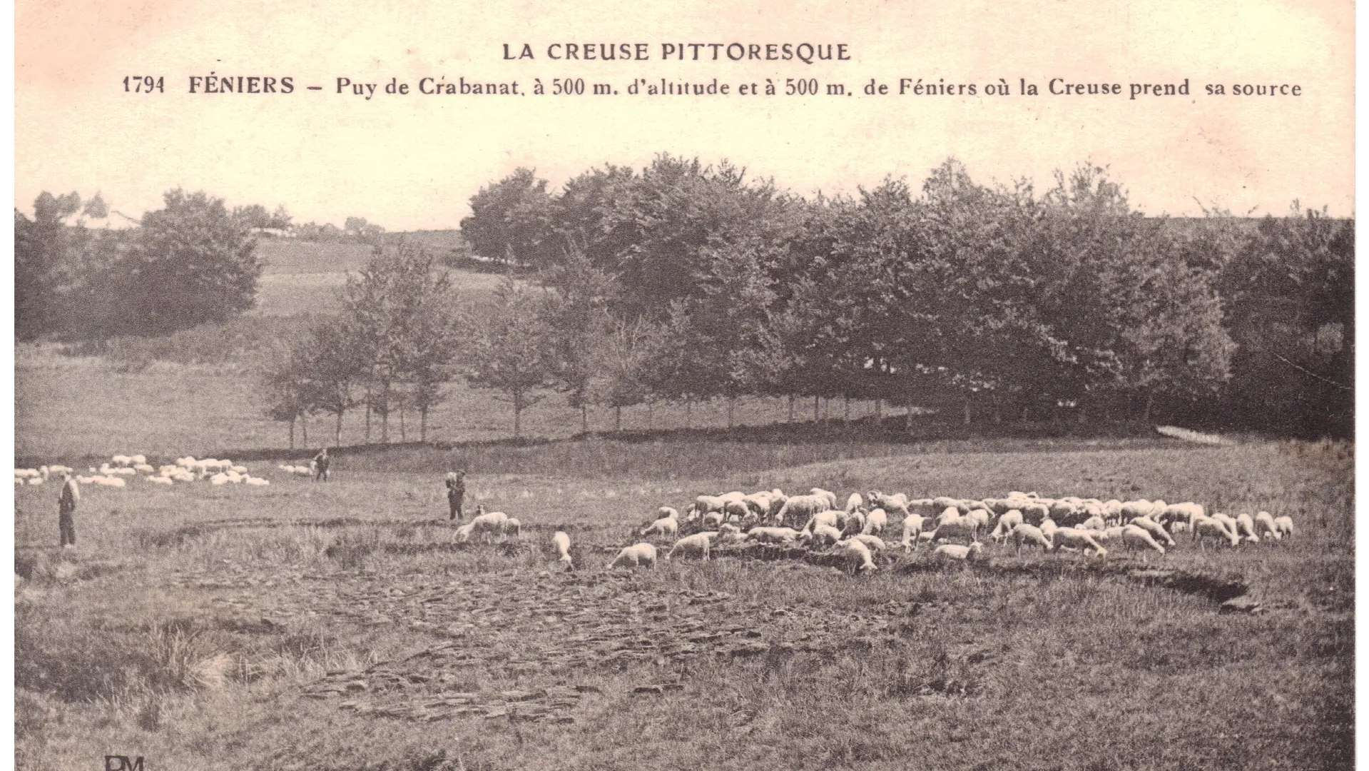
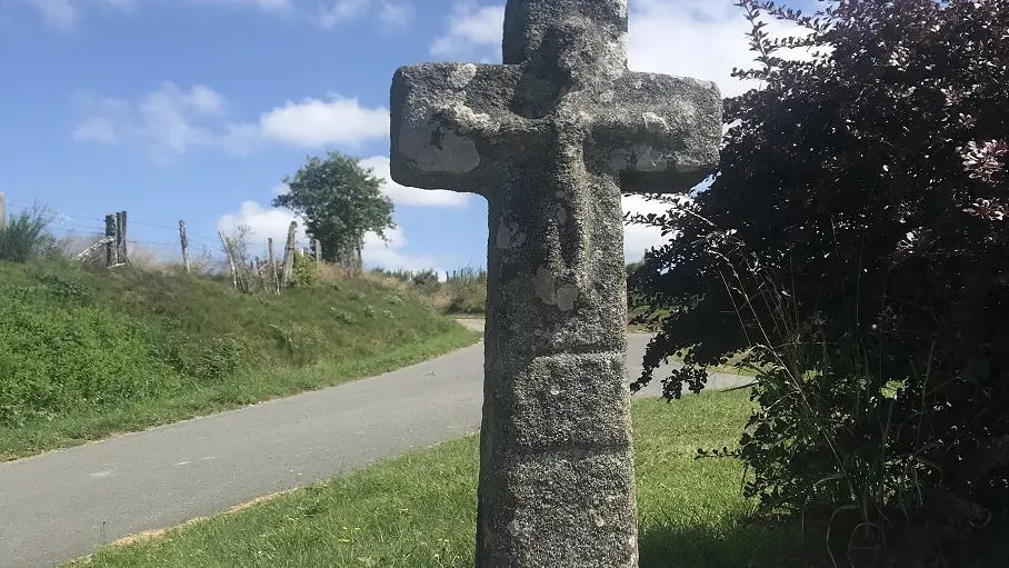
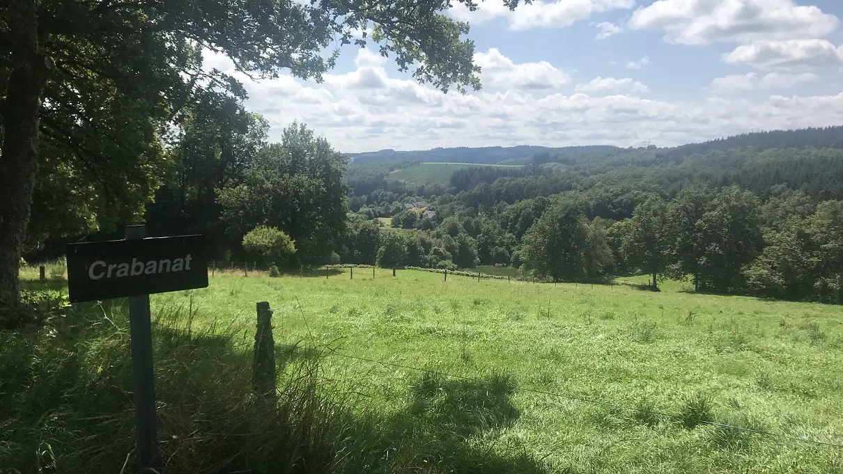
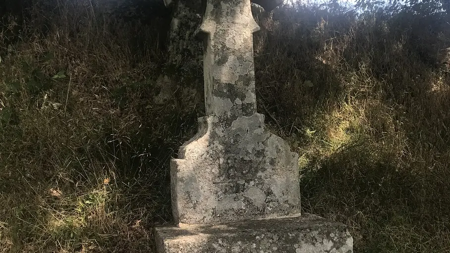
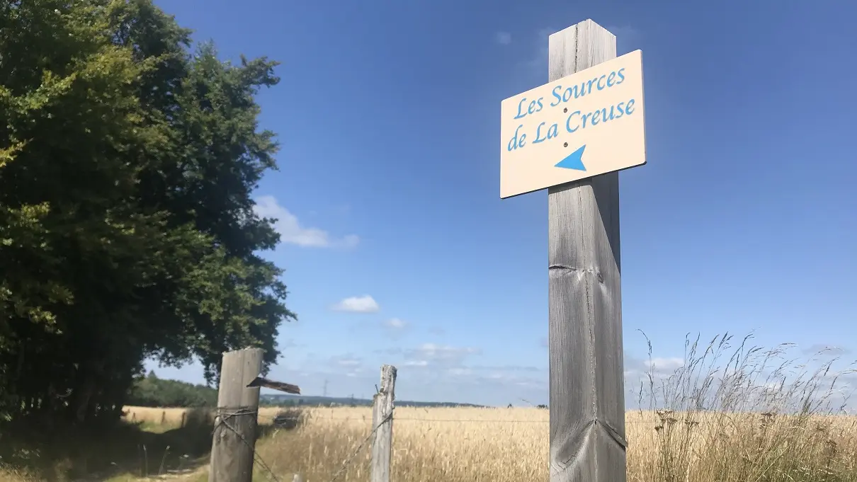
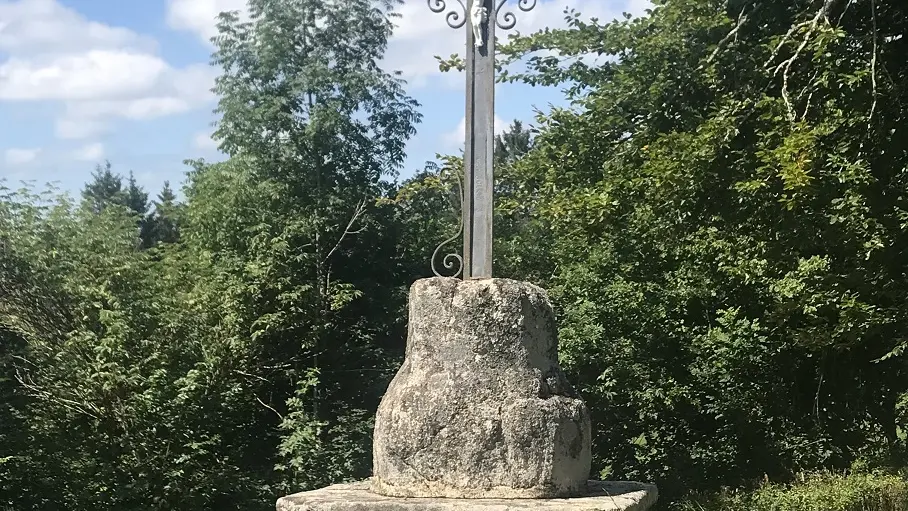
Departing from Place de l'Eglise, you'll discover the ancient machinery of a mill beneath the communal washhouse, before looping around La Rebeyrolle. At the highest point, 880 m, on a clear day, there's a view of the Monts d'Auvergne, before crossing the hamlet of La Vialle, in the commune of Mas d'Artiges. On the way back to Féniers, take a detour to the "Source de la Creuse" spring. Along the way, you'll come across a number of crosses, hence the name of this walk.
For more information and the "Step by Step" description, download the PDF file.
Read more